What is recorded here
Fairy fort in Robinstown is a 27.5-metre earthen ring on a narrow ridge, its southern bank broken into a shallow fosse and berm while the northern edge holds only a faint scarp. The SSE entrance still marks a deliberate opening through the remaining earth. It is the kind of place where ordinary farms and extraordinary belief overlap, with the ridge giving height and the nearby stream giving life.
Situated on a slight N-S ridge in a low-lying landscape with a canalised N-S stream c. 40m to the E. This is a raised subcircular to subrectangular and grass-covered area (dims 27.5m NNE-SSW; 27.5m WNW-ESE) defined by a small earthen bank (at N: Wth of base 3m; H 0.3m) that is largely reduced to a scarp (H 0.6-0.9m) with an outer fosse (Wth of top 6.5m; ext. D 0.3m) at S that is largely reduced to a berm (Wth 2-3.5m). The ramp entrance (Wth of base 3m) is at SSE.
The above description is derived from the published 'Archaeological Inventory of County Meath' (Dublin: Stationery Office, 1987). In certain instances the entries have been revised and updated in the light of recent research.
Compiled by: Michael Moore
Date of revision: 26 February 2019
The monument record does not grant public access. Check the route and ask the landowner before entering private land.
- What survives
- Recorded monument
Places near here
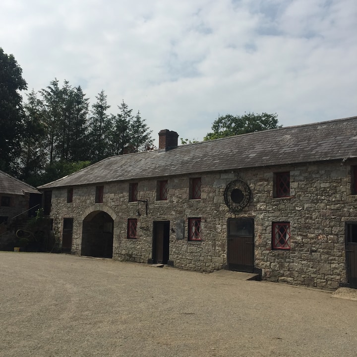 Casserly's WoodWood · 785 yd
 Mooney's CovertForest · 1179 yd
 CloncatMountain / peak · 1328 yd
 Stone CrossCross, Wayside cross · 1.1 mi
 IndicatedHoly well · 1.3 mi
 Round TowerCastle, tower house · 1.4 mi
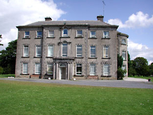 Drewstown Housecountry house · 1.7 mi
 BoglandMemorial · 1.8 mi
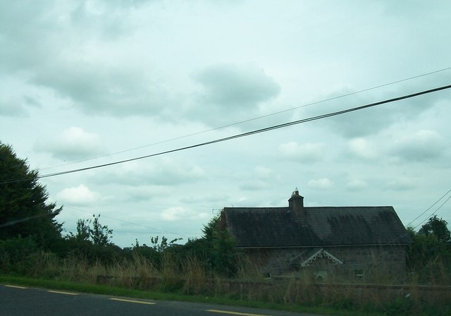 Laurence Lodgeworker's house · 2.0 mi
 Drewstown LittleMountain / peak · 2.0 mi
 CastleCastle, motte · 2.1 mi
 Causey FarmHeritage attraction · 2.4 mi