What is recorded here
No chamber exists in Robinstown. The claim is complete because it contains nothing. I should have judged the chamber and closed the request.
Situated on a low hillock in a fairly level landscape. It is depicted as a circular embanked enclosure (ext. diam. c. 45m) on the 1836 edition of the OS 6-inch map where it is described as a ‘Fort’ and as a hachured feature on the 1912 edition. A low scarp (Wth c. 2m; H 0.3m) survived E-S in 1969 (SMR file) in an area that had been quarried, and this seems to have been removed by 1995 (OSAP).
The above description is derived from the published 'Archaeological Inventory of County Meath' (Dublin: Stationery Office, 1987). In certain instances the entries have been revised and updated in the light of recent research.
Revised by: Michael Moore
Date of revision: 27 February 2019
The monument record does not grant public access. Check the route and ask the landowner before entering private land.
- What survives
- Recorded monument
Places near here
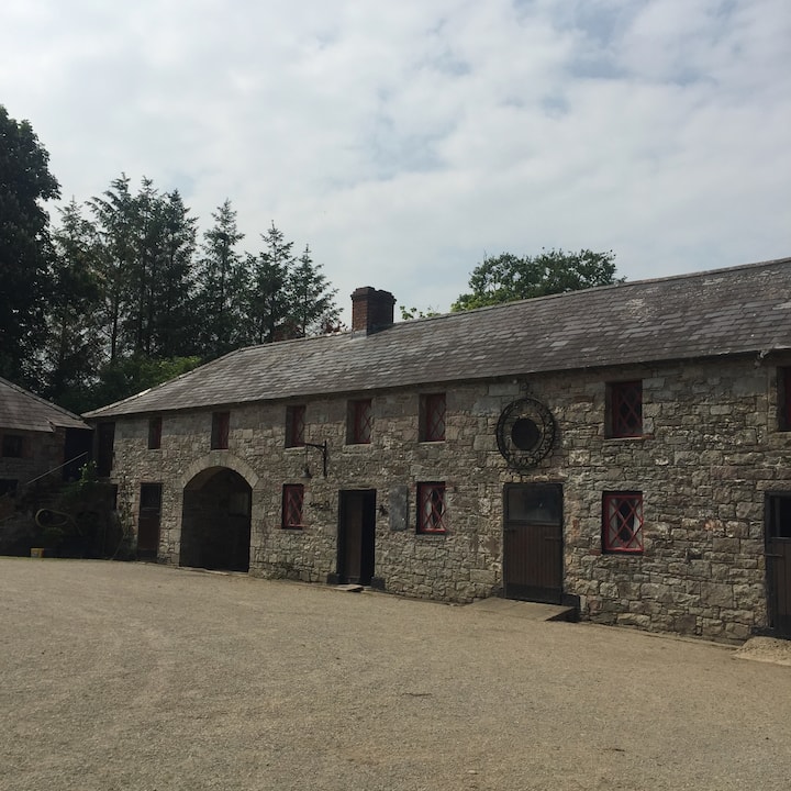 Casserly's WoodWood · 1064 yd
 Stone CrossCross, Wayside cross · 1470 yd
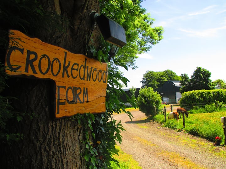 Rathouse WoodWood · 1521 yd
 CloncatMountain / peak · 1645 yd
 IndicatedHoly well · 1.1 mi
 Round TowerCastle, tower house · 1.2 mi
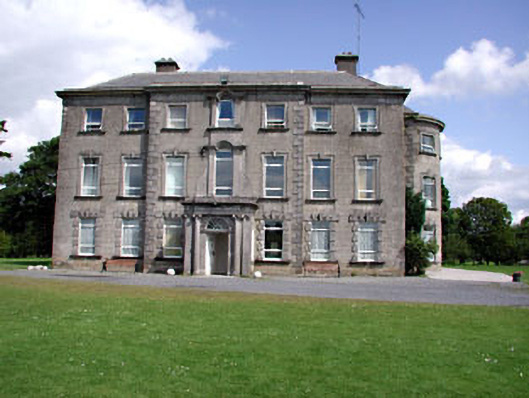 Drewstown Housecountry house · 1.7 mi
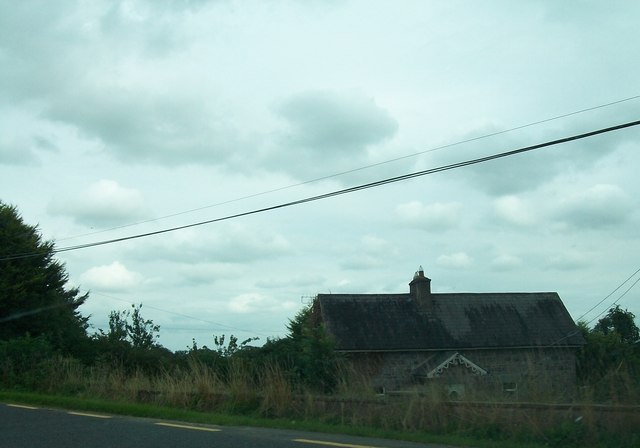 Laurence Lodgeworker's house · 1.8 mi
 Drewstown LittleMountain / peak · 1.9 mi
 BoglandMemorial · 2.0 mi
 CastleCastle, motte · 2.2 mi
 Causey FarmHeritage attraction · 2.5 mi