What is recorded here
Situated on top of a prominent hillock in undulating countryside. Ringfort (WM008-086----) 340m to NW. A raised sub-circular shaped area (approx. diam. 27m N-S; 31m E-W) enclosed by a poorly preserved earthen bank. The bank is best preserved from NNE-E and levelled elsewhere. Traces of cultivation ridges are visible running ENE-WSW across the interior of the monument. There is a large quarry hole outside the bank at NW.
See attached section of monument surveyed and drawn by the ASI.
Compiled by: Frank Coyne and Caimin O'Brien
Date of upload: 24 April 2017
The monument record does not grant public access. Check the route and ask the landowner before entering private land.
- What survives
- Recorded monument
Places near here
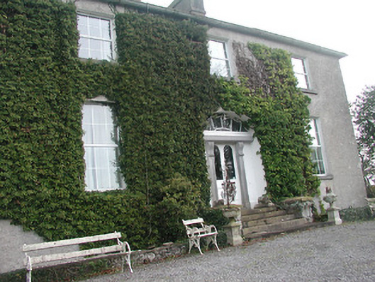 Glebe Houserectory/glebe/vicarage/curate's house · 179 yd
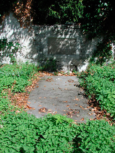 graveyard/cemeterygraveyard/cemetery · 1066 yd
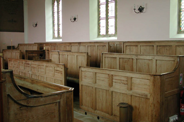 Ecclesiastical enclosure in KilcumnyEcclesiastical enclosure · 1078 yd
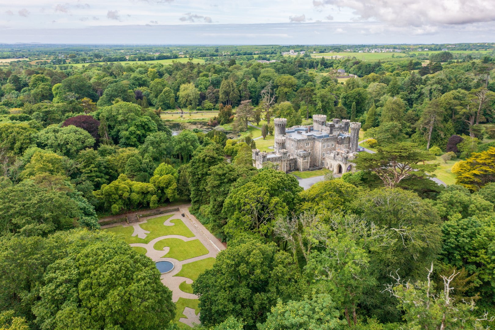 CastleCastle, tower house · 1.7 mi
 Hachured, FortfieldFairy fort / earthen ringfort · 1.9 mi
 Castle IslandIslet · 2.3 mi
 The FurzeForest · 2.4 mi
 OutlinedCastle, unclassified · 2.6 mi
 South East GateHeritage attraction · 3.5 mi
 Ben of ForeMountain / peak · 3.7 mi
 St Feichin's MillHeritage attraction · 3.7 mi
 Noggin HillMountain / peak · 3.8 mi