What is recorded here
Two ditches, forty metres across, circle a hidden heart in the Robertstown flat, their eastern gap still pointing toward the rising sun. The soil remembers the shape even when grass and forgetting cover it, holding a boundary drawn before written history. People may have lived inside that ring, raised children, buried lovers, and vanished so completely the land kept only the curve of their choice.
Located in a low-lying position in a gently undulating landscape. The cropmark of a circular enclosure defined by two fosse features (max. ext. diam. c. 40m) with an entrance gap at E in the outer fosse is visible on oblique aerial photograph (CUCAP: AVG, 97). It is also visible on OSI images (2017).
The above description is derived from the published 'Archaeological Inventory of County Meath' (Dublin: Stationery Office, 1987). In certain instances the entries have been revised and updated in the light of recent research.
Compiled by: Michael Moore
Date of revision: 9 April 2019
The monument record does not grant public access. Check the route and ask the landowner before entering private land.
- What survives
- Recorded monument
Places near here
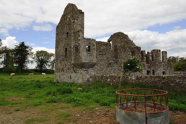 IndicatedHouse, fortified house · 703 yd
 Bawn in Robertstown (kells Lower By.)Bawn · 703 yd
 Church in Robertstown (kells Lower By.)Church · 902 yd
 CrossCross, Churchyard cross · 1208 yd
 Owenroe and Moynalty DrainageMemorial · 1249 yd
 Enclosure in MarvelstownEnclosure · 1585 yd
 Sprout WoodWood · 1.6 mi
 Cherburg WoodForest · 1.9 mi
 GravelstownMountain / peak · 2.0 mi
 Kiln in Altmush (morgallion By.)Kiln · 2.6 mi
 DeerparkMountain / peak · 2.6 mi
 Nobber GreenwayMemorial · 2.8 mi