What is recorded here
On a low rise in pasture to the W of a stream. A raised circular area (diam. c. 30m) defined by a scarp (H 0.95-1.25m). A report in 1975 (SMR file) recorded traces of an external fosse; it has since been infilled. The original entrance is not recognisable.
Compiled by: Patrick F. O'Donovan
Date of upload: 26 August 2011
A fairy fort / earthen ringfort in Rinroe is a circular earthen enclosure, likely dating to the early medieval period, characterized by a raised bank and internal ditch. Local tradition associates such sites with the fairy folk, and they were often avoided or treated with reverence by rural communities.
The monument record does not grant public access. Check the route and ask the landowner before entering private land.
- What survives
- Recorded monument
Places near here
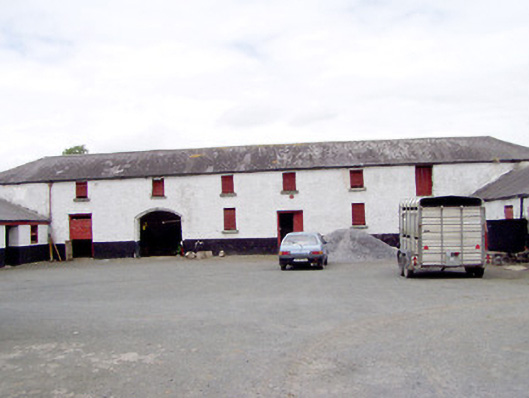 Toneen Lodgeoutbuilding · 905 yd
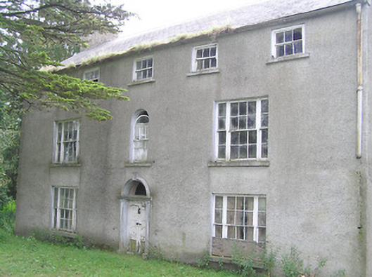 Killasona Housecountry house · 1201 yd
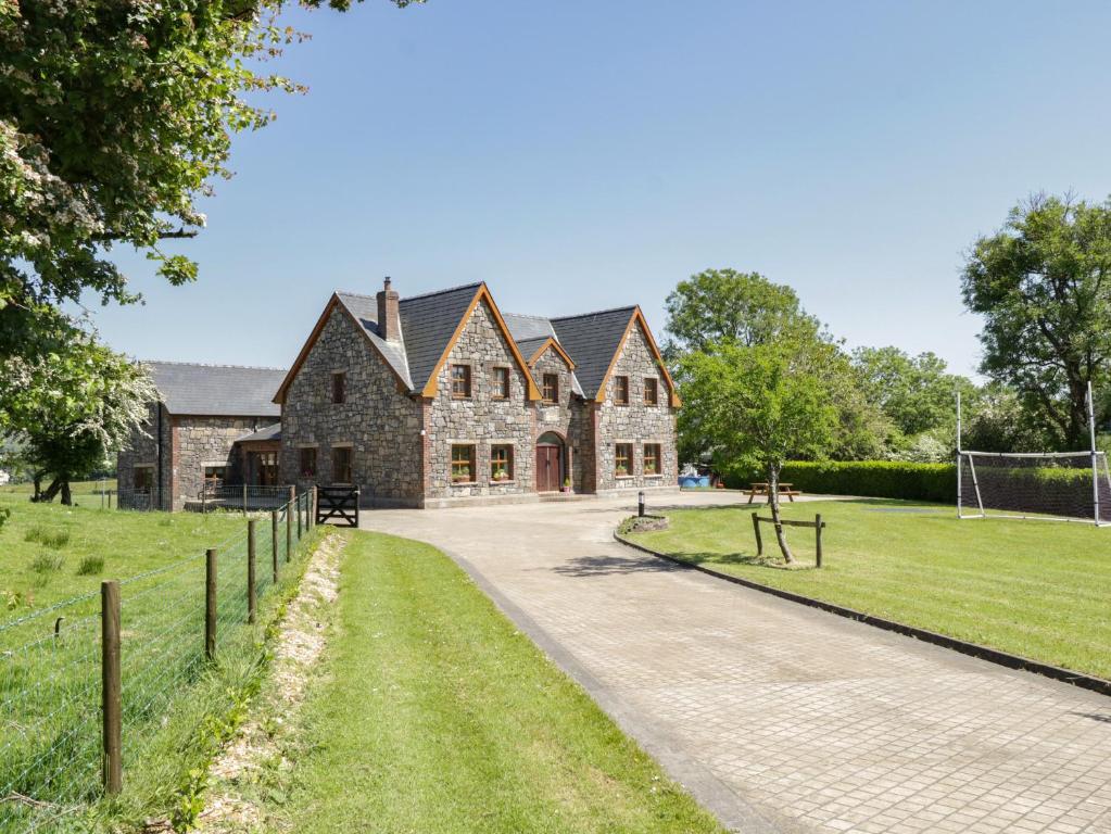 ToberreendoneyHoly well · 1475 yd
 Enclosure in RincoolaghEnclosure · 1747 yd
 Site of Castle NugentCastle, unclassified · 1.6 mi
 Moat of GranardCastle, motte and bailey · 2.4 mi
 Granard MotteMotte-and-bailey castle remains · 2.4 mi
 1798 Monumentmonument · 2.4 mi
 CarrickMountain / peak · 4.6 mi
 CartronfreeMountain / peak · 4.7 mi
 Clonfin Ambush MemorialMemorial · 4.8 mi
 Watty's RocksIslet · 4.9 mi