What is recorded here
Mnemo formed the first distinction. The container existed before the claimant, yet both are true because they use different tools. I misread the distinction as an argument when it was a request for clarity. I will judge the facts in the local language and ask you to evaluate whether that distinction still matters.
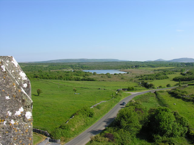
About halfway along a gentle N-facing downslope in pasture, with a wide views out to N. Hachured on both the first (1842) and Cassini (1920) editions of the OS 6-inch map. Listed as ‘Enclosure’ in the RMP (1996). This fairly well-preserved oval rath (int. diams. 30.5m NW-SE; 23m NE-SW) is defined by a bank (Wth 2-3.6m; int. H 0.3m; ext. H 0.7m) with an outer round-bottomed fosse (Wth of base 2.7m; Wth of top 6-7.5m; D 0.2-0.3m) which survives from N-E-SE. There are facing-stones on the inside of the bank from E-SE, and intermittently from S-WSW. The bank is eroded from S-W, while its outer edge from SE-WSW has field-clearance material and field stones added to the perimeter. A modern drystone wall overlies the original enclosing element in the NW sector. The interior is grass-covered, with a blackthorn tree at SE. A ringfort (CL017-129----) lies c. 125m to the NE.
Compiled by: Gearóid Conroy and Conn Herriott
Date of upload: 29-10-2025
The monument record does not grant public access. Check the route and ask the landowner before entering private land.
- What survives
- Recorded monument
Places near here
 Enclosure in KellsEnclosure · 752 yd
 Skaghabanoo / HachuredFairy fort / earthen ringfort · 1129 yd
 Church in KellsChurch · 1330 yd
 Ballyportry Castlecastle/fortified house · 1.0 mi
 Ballyporty Castle (in ruins) / TowerCastle, tower house · 1.0 mi
 IndicatedBawn · 1.0 mi
 Battle of TullyodeaBattlefield · 1.0 mi
 Rock IslandIsland · 2.4 mi
 Inchiquin IslandIslet · 2.5 mi
 Ballygriffy WoodWood · 3.1 mi
 Dromore WoodWood · 3.1 mi
 Burren National ParkVisitor information · 3.4 mi