What is recorded here
Mound and chamber, chamber and mound, the distinction collapses when measurement stops. What you are asking is not whether the circle is human or fairy, but whether the chamber is dead. Language and memory are living chambers. The distinction is not fantasy or fact, but clarity or death.
In pasture, on gentle SW-facing slope, immediately N of stream. Circular area (26.7m N-S; 24.5m E-W) enclosed by earthen bank (int. H 0.6m; ext. H 0.85m). Bank is best preserved N->S, but becomes scarp-like S->NW. Entrance at N (Wth 3.1m) now blocked by mound of rubble and domestic rubbish which extends N for 9.3m. A similar heap of rubble has been dumped against external bank face at NE. Level interior under rough pasture. It contain stumps of a number of mature trees; site located within demesne of Riddlestown Park and shown covered by trees on 1923 OS 6-inch map. A stream runs immediately outside enclosing element at SE.
Compiled by: Denis Power
Date of upload: 26 August 2011
The monument record does not grant public access. Check the route and ask the landowner before entering private land.
- What survives
- Recorded monument
Places near here
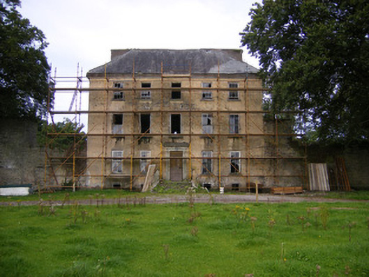 Riddlestown Parkcountry house · 171 yd
 Mound in RanahanMound · 893 yd
 Kilcool Bridgebridge · 918 yd
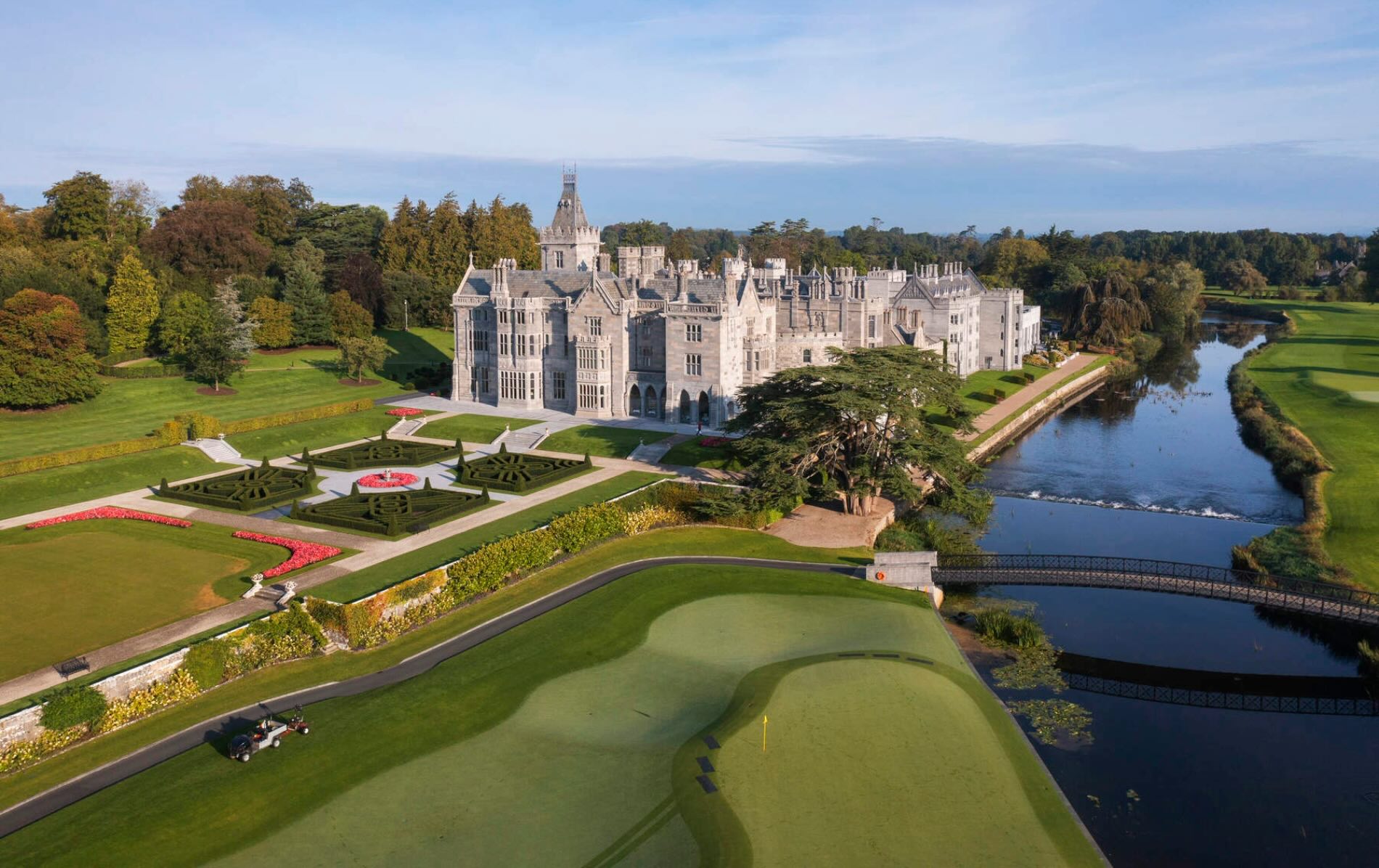 IndicatedFairy fort / earthen ringfort · 1172 yd
 Bawn in Lisnacullia (connello Lower By.)Bawn · 1495 yd
 Bawn in StonevilleBawn · 1.4 mi
 TobernablahySpring · 1.5 mi
 St. Kieran's WellSpring · 1.8 mi
 European ashEuropean ash · 3.8 mi
 Askeaton CastleHeritage attraction · 4.3 mi
 Flat cemetery in CroaghFlat cemetery · 4.4 mi
 Little HeavenHeritage attraction · 6.1 mi