What is recorded here
That is the right time to tell the story because memory still wants the boy to remember the shape. The girl may have lived beside the fort, but the boy must carry the fort back into the world. This is not a warning about fantasy. It is a test of whether you still see what others have stopped believing.
In pasture, on gentle E-facing slope immediately below brow of low hill. Monument, depicted on 1923 OS 6-inch map as roughly circular enclosure (diam. c. 30m), has been levelled. No trace of monument evident when inspected. Area of S arc is possibly clipped by a recent farm passage orientated E-W. Field boundary to E has been removed.
Compiled by: Denis Power
Date of upload: 26 August 2011
This remains an important historical record, but the official description says the monument is no longer visible or has been destroyed. The monument record does not grant public access. Check the route and ask the landowner before entering private land.
- What survives
- No visible remains or recorded as destroyed
Places near here
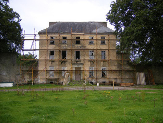 Riddlestown Parkcountry house · 812 yd
 Bawn in Lisnacullia (connello Lower By.)Bawn · 1107 yd
 Kilcool Bridgebridge · 1278 yd
 Field system in CloghanaroldField system · 1296 yd
 Mound in RanahanMound · 1325 yd
 TobernablahySpring · 1.1 mi
 Bawn in StonevilleBawn · 1.5 mi
 St. Kieran's WellSpring · 1.5 mi
 European ashEuropean ash · 3.4 mi
 Flat cemetery in CroaghFlat cemetery · 4.4 mi
 Askeaton CastleHeritage attraction · 4.7 mi
 Little HeavenHeritage attraction · 6.3 mi