What is recorded here
Fairy fort in Riddlestown, County Limerick: a roughly circular earthen ringfort, 23.8m by 23.5m, with a scarped edge 0.6m high and 5.5m wide, best preserved from east to west-northwest. It sits in pasture on a break in a northwest-facing slope, level except the northern third, which dips toward north-northwest. A field boundary skirts the base at the northeast, as if the land still acknowledges the shape beneath the grass.
In pasture, on break in NW-facing slope. Roughly circular area (23.8m N-S; 23.5m E-W) defined by scarped edge (H 0.6m; Wth 5.5m). Scarp is best preserved E->WNW but becomes very indistinct WNW->N, and is distinct but low N->E (H 0.55m; Wth 4.1m). Entire site is under pasture and level except for N third which slopes down to NNW. Field boundary skirts base of scarp at NE.
Compiled by: Denis Power
Date of upload: 26 August 2011
The monument record does not grant public access. Check the route and ask the landowner before entering private land.
- What survives
- Recorded monument
Places near here
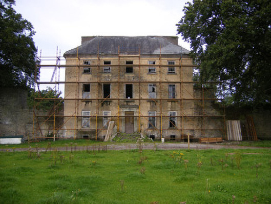 Riddlestown Parkcountry house · 793 yd
 Bawn in Lisnacullia (connello Lower By.)Bawn · 956 yd
 Mound in RanahanMound · 1156 yd
 Kilcool Bridgebridge · 1384 yd
 Field system in CloghanaroldField system · 1510 yd
 TobernablahySpring · 1.2 mi
 St. Kieran's WellSpring · 1.5 mi
 Bawn in StonevilleBawn · 1.6 mi
 European ashEuropean ash · 3.5 mi
 Flat cemetery in CroaghFlat cemetery · 4.5 mi
 Askeaton CastleHeritage attraction · 4.7 mi
 Little HeavenHeritage attraction · 6.3 mi