What is recorded here
Fairy fort in Richardstown: a circular earthwork with a wide ditch, about forty-five metres across, set on a north-facing slope in the River Dee valley near Ardee. People called it a fairy fort because such rings often felt like the edge of another world, where human life and story life both had room. A boy named Finn first saw the shape, and his father Anthony Murphy told others, bringing the forgotten circle back into local memory.
Situated towards the bottom of a N-facing slope in the valley of the W-E River Dee, a S-bound loop of which is c. 400m to the NNW. The cropmark of a circular area (int. diam. c. 45m N-S; c. 45m E-W) defined by a wide fosse feature (Wth c. 3-5m) is visible on Google Earth (27/06/2019). It is also visible on OSI images (2000), and was first reported by Anthony Murphy, having been discovered by his son, Finn.
Compiled by: Michael Moore
Date of upload: 11 November 2019
The monument record does not grant public access. Check the route and ask the landowner before entering private land.
- What survives
- Recorded monument
Places near here
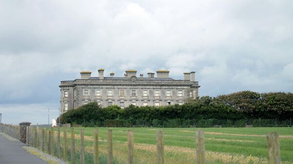 Enclosure in Richardstown (ardee By., Richardstown Par.)Enclosure · 444 yd
 Graveyard in Richardstown (ardee By., Richardstown Par.)Graveyard · 530 yd
 Monterey CypressMonterey Cypress · 544 yd
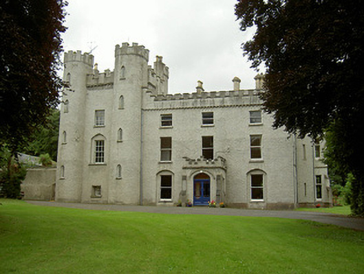 Richardstown Castlecastle/fortified house · 589 yd
 Rocjardstown CastleCastle, tower house · 592 yd
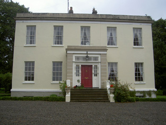 Dromin Housecountry house · 976 yd
 Ecclesiastical enclosure in StabannanEcclesiastical enclosure · 1266 yd
 CastleCastle, motte · 1676 yd
 Graveyard in StickillinGraveyard · 2.1 mi
 Rathescar Lakeside WalkWood · 2.4 mi
 Drummeenagh HillMountain / peak · 4.0 mi
 Tullydonnell HillMountain / peak · 4.5 mi