What is recorded here
Situated on top of a hillock overlooked by higher ground to SW, with very good views in all other directions. The field fence which forms the townland boundary with Battstown lies 30m to N, and the field fence which forms the townland boundary with Williamstown is 30m to S. A raised circular-shaped area (approx. diam. 27m NW-SE; 25m NE-SW) enclosed by a low (H 1m) earthen bank and a shallow external fosse.
See attached profile of monument surveyed and drawn by the ASI.
Compiled by: Frank Coyne and Caimin O'Brien
Date of upload: 10 April 2018
The monument record does not grant public access. Check the route and ask the landowner before entering private land.
- What survives
- Recorded monument
Places near here
 Ecclesiastical enclosure in CrosserdreeEcclesiastical enclosure · 1060 yd
 Church in ruinsChurch · 1063 yd
 OutlinedCastle, unclassified · 1147 yd
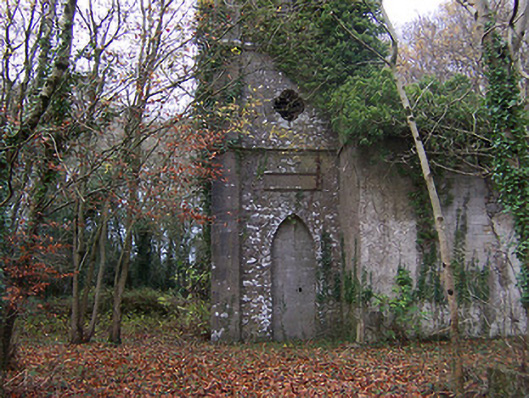 Church of Saint John the Baptist (Rathconnell)church/chapel · 1283 yd
 CastleCastle, ringwork · 1364 yd
 Settlement desertedSettlement deserted, medieval · 1408 yd
 GinkgoGinkgo · 1663 yd
 The FurzeForest · 4.7 mi
 Kells HillMountain / peak · 7.6 mi
 Seafin HillMountain / peak · 7.9 mi
 Site of Fennor CastleCastle, tower house · 1415 yd
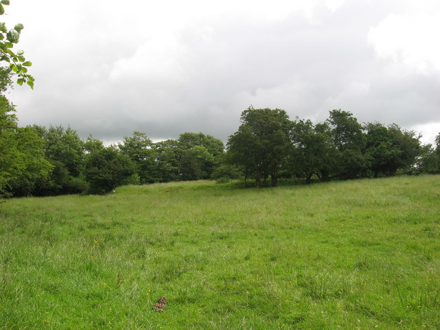 Fairy fort / earthen ringfort in ReynellaFairy fort / earthen ringfort · 1448 yd