
What is recorded here
Situated on undulating grassland. The stream which forms the townland boundary with Johnstown lies 50m to N. A series of earthworks, low banks and enclosures covering a large area (approx. 1.5 hectares) possibly represents the remains of a deserted medieval settlement. Four enclosures can be readily defined while at the N end of the site a wide area of low irregular banks & hummocks may represent the remains of disturbed house sites.
Compiled by: Frank Coyne and Caimin O'Brien
Date of upload: 4 April 2018
The monument record does not grant public access. Check the route and ask the landowner before entering private land.
- What survives
- Recorded monument
Places near here
 Church in ruinsChurch · 1489 yd
 Ecclesiastical enclosure in KillulaghEcclesiastical enclosure · 1512 yd
 CastleCastle, ringwork · 1586 yd
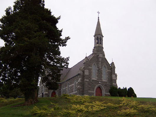 Saint Livinius's Catholic Churchchurch/chapel · 1735 yd
 Site of Fennor CastleCastle, tower house · 1747 yd
 Font in Killulagh,williamstown (rochford)Font · 1750 yd
 GinkgoGinkgo · 1.7 mi
 The FurzeForest · 3.9 mi
 Castle IslandIslet · 5.0 mi
 Kells HillMountain / peak · 6.8 mi
 Seafin HillMountain / peak · 7.2 mi
 Zip WireHeritage attraction · 9.5 mi
Other information
Photo: Credit not shown in the picture search · Rights wording not checked; contact us if this picture should be removed