What is recorded here
Magic is not necessary to explain the fort, but it is tempting. The facts are clear: a circular earth bank stands thirty metres across in Renny Upper, tall enough to block entry and old enough to have been forgotten by the people who plough beside it. The field has eaten the boundary in places, yet the circle remains visible because it resists the logic of the farm. That is what makes it strange. It is not a fantasy claim about fairies; it is a human shape that outlived the hands which made it.
In tillage, on level ground, below slight E-facing slope. Circular area (30m N-S; 30m E-W) enclosed by heavily overgrown earthen bank (int. H 1m; ext. H 1.2m). Field ploughed up to base of bank. Interior covered in thorns and briars.
The above description is derived from the published 'Archaeological Inventory of County Cork. Volume 4: North Cork' (Dublin: Stationery Office, 2000). In certain instances the entries have been revised and updated in the light of recent research.
Date of upload/revision: 14 January 2009
The monument record does not grant public access. Check the route and ask the landowner before entering private land.
- What survives
- Recorded monument
Places near here
 Field system in Renny UpperField system · 569 yd
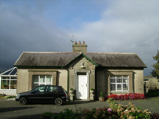 Convamoregate lodge · 900 yd
 Enclosure in ConvaEnclosure · 1010 yd
 Castle (in Ruins)Castle, unclassified · 1098 yd
 Woodvillecountry house · 1201 yd
 Blackwater (Avondhu) WayWalking route · 1291 yd
 Priest's WoodForest · 1.4 mi
 Ballyhooly CastleCastle · 1.5 mi
 Johnson's WoodForest · 1.7 mi
 Knocknaskagh North TopMountain / peak · 2.6 mi
 Liam BurkeMemorial · 3.2 mi
 Anne's Grove GardensHeritage attraction · 3.4 mi