What is recorded here
Fairy forts are human ringforts misnamed because people stopped remembering the hands that built them. This is one of them: a broken circular ridge on a slight rise in County Meath, partly quarried away and cut through by a field bank, yet still large enough to have held a household, a herd, or a fear of neighbours. The fairies enter only where human memory has thinned.
Situated on a slight rise in an undulating landscape. This is a raised and circular grass and scrub-covered area (diam. c. 39m) defined by a scarp (at NNE: Wth 2.2m; H 1.4m), with an outer fosse (at NNE: Wth of top 7m; Wth of base 3.7m; ext. D 0.5m) that only survives NW-NNE. The interior is cut by a NE-SW field bank and townland boundary with Readstown towards the perimeter at SE but the monument is not evident SE of this feature and much of the rest of the perimeter has been quarried. An original entrance is not identified.
The above description is derived from the published 'Archaeological Inventory of County Meath' (Dublin: Stationery Office, 1987). In certain instances the entries have been revised and updated in the light of recent research.
Compiled by: Michael Moore
Date of upload/revision: 10 July 2007
The monument record does not grant public access. Check the route and ask the landowner before entering private land.
- What survives
- Recorded monument
Places near here
 Font in LaracorFont · 1255 yd
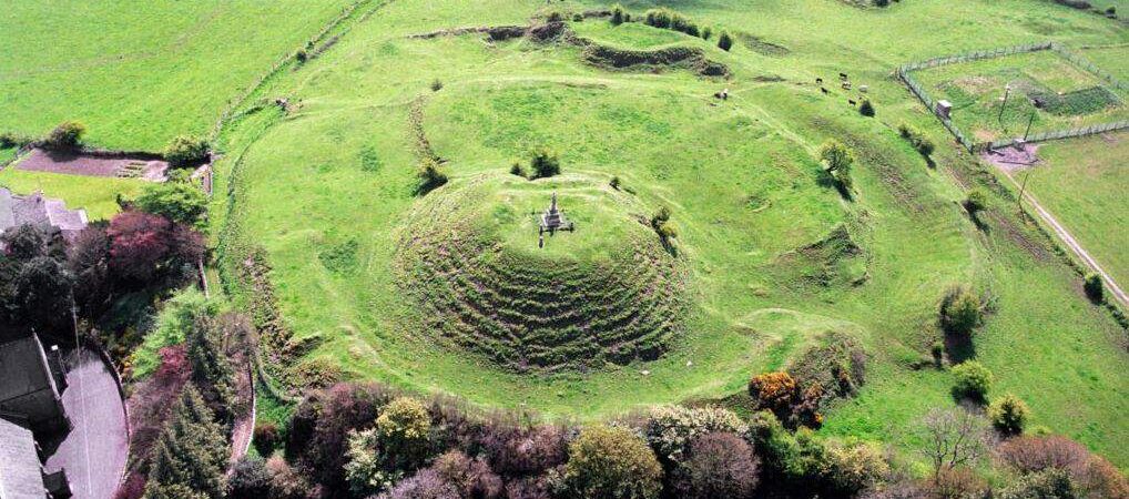 CastleCastle, motte · 1318 yd
 Enclosure in Stokestown (moyfenrath Lwr By)Enclosure · 1401 yd
 Ginnets MoatCastle, motte · 1.3 mi
 Saints IslandForest · 1.4 mi
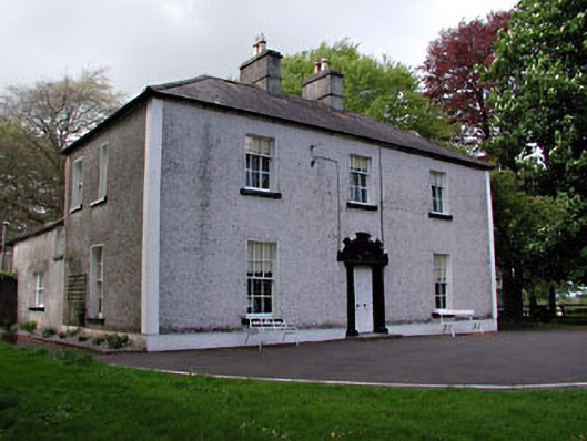 Fosterstown Housecountry house · 1.7 mi
 Church (in Ruins)Church · 1.9 mi
 European ashEuropean ash · 3.0 mi
 Lismahon 1798 MemorialMonument · 9.9 mi
 Candle HillMountain / peak · 10.0 mi
 Mass was there in Penal TimesMemorial · 10 mi
 Croppies' GraveMemorial · 11 mi