What is recorded here
Fairy fort in Raymondstown, County Limerick: an oval rath about 33 metres long, banked and fossed, with a possible nine-metre northern gap, standing in pasture near the Ballinculloo boundary. It was already marked as an ancient fort when the Ordnance Survey drew the area in 1840, and it still shows through grass, scrub and shadow on later images. People may have lived, hidden or worshipped there before memory faded; the earth keeps its shape while the names and faces dissolve into legend.
In pasture, 310m E of townland boundary with Ballinculloo. Depicted on the 1840 ed. OSi 6-inch map as an oval-shaped area enclosed by a bank. Shown on the 1897 ed. OSi 25-inch map as an oval-shaped area (dims. c. 33m NW-SE; 27m NE-SW) enclosed by a bank and external fosse, with possible entrance gap (Wth 9m) at N. In 1840 the Ordnance Survey described this monument as ‘an ancient fort in the central part of the townland’ (OSNB Abbeyfeale to Bruree, 644). Tree and scrub-covered monument visible on OSi orthophotograph taken between 2005-2012 and on Google Earth orthoimages. Relic field boundary running NW-SE is visible to the S of the monument on Google Earth orthoimages.
See attached Google Earth orthoimages.
Compiled by: Fiona Rooney
Date of upload: 15 April 2021
See attached ASI aerial photograph ASIAP – 328/13 on 15/10/2002.
The monument record does not grant public access. Check the route and ask the landowner before entering private land.
- What survives
- Recorded monument
Places near here
 EnclosureEnclosure, large enclosure · 991 yd
 Quarry in Dromin NorthQuarry · 1258 yd
 IndicatedEarthwork · 1407 yd
 Bawn in MaidstownBawn · 1414 yd
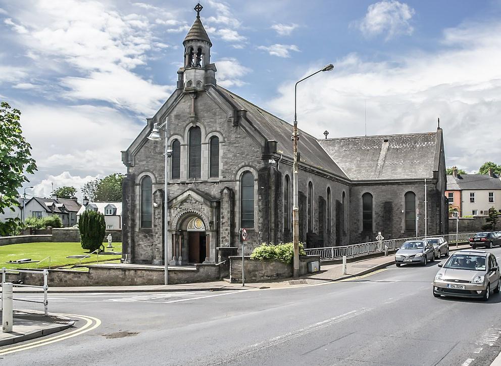 Dromin Church (in ruins)Church · 1433 yd
 Bawn in Ballycullane (kilmallock By.)Bawn · 1.0 mi
 King John's CastleCastle · 3.4 mi
 St Bridget's WellSpring · 5.1 mi
 Lough GurVisitor information · 5.2 mi
 European ashEuropean ash · 6.3 mi
 Flat cemetery in Knockainy WestFlat cemetery · 6.3 mi
 Ballinvreena LoopVisitor information · 8.0 mi