What is recorded here
No human fort, no visible wall, no entrance, no door. The circle is complete, the ground is level, the edge is invisible. What is missing is the point. The fort is not a fort at all. It is a shape that refuses to be known.
Not marked on OS 1836 eds. Raised circular area (int. diam. 39.1m) enclosed by a low earthen bank and a wide, shallow fosse. The site is divided into three unequal portions by field boundaries. Original entrance not recognisable.
The above description is derived from the published 'Archaeological Inventory of County Cavan' (Dublin: Stationery Office, 1995). In certain instances the entries have been revised and updated in the light of recent research.
Date of upload/revision: 22 December 2008
The monument record does not grant public access. Check the route and ask the landowner before entering private land.
- What survives
- Recorded monument
Places near here
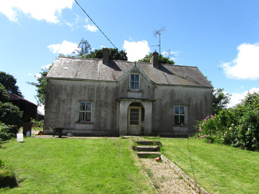 station master's housestation master's house · 739 yd
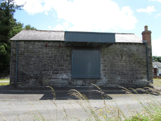 goods shedgoods shed · 749 yd
 Saint Mogue's IslandIslet · 947 yd
 Common LimeCommon Lime · 1072 yd
 Giants GraveArchaeological place · 1097 yd
 SycamoreSycamore · 1127 yd
 Enclosure in CorEnclosure · 1294 yd
 Derryragh FortHilltop enclosure · 1463 yd
 LissanoverCastle, unclassified · 1.2 mi
 Killycluggin StoneVisitor information · 1.3 mi
 IndicatedCastle, tower house · 1.5 mi
 Bellaheady MountainMountain / peak · 2.4 mi