What is recorded here
Rathpalatine holds a broken fairy fort where a new farm building casts a long shadow across the ancient earth. The round enclosure still shows its bank and faded ditch, but rubble has buried much of the outer edge. People may have lived there before fields and roads changed the land, yet the fairies keep the name and the shape.
In pasture, on slight S-facing slope. Circular area (diam. 36m) enclosed by earthen bank (int. H 1.1m; ext. H 2.6), with an external fosse (D 0.55m; Wth 0.6m) WSW->ENE. Bank levelled and fosse largely infilled with rubble ENE->WSW. Field boundaries, which abutted site at W, N and E, have been removed. Interior level and clear of overgrowth. A recently constructed farm building stands immediately E of enclosure.
Compiled by: Denis Power
Date of upload: 26 August 2011
The monument record does not grant public access. Check the route and ask the landowner before entering private land.
- What survives
- Recorded monument
Places near here
 Mound in Killeen (glenquin By.)Mound · 943 yd
 Church in AppletownChurch · 1280 yd
 BarrowBarrow, ring-barrow · 1492 yd
 Castle (in ruins), Springfield CastleCastle, tower house · 1.1 mi
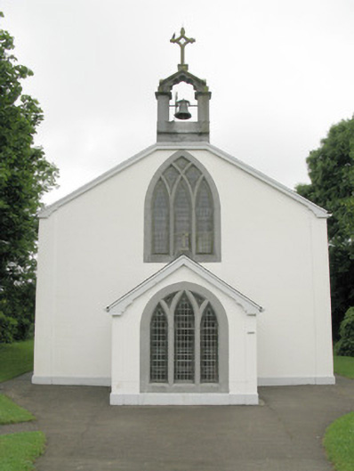 Catholic Church of Our Lady of Sorrowschurch/chapel · 1.1 mi
 ToberhoranSpring · 2.3 mi
 Glenduff CastleCastle, tower house · 2.4 mi
 ToberacappeenSpring · 3.2 mi
 National Co-op MuseumMuseum · 3.3 mi
 Ballagh MountainMountain / peak · 4.4 mi
 Mullaghareirk - Banane LoopWalking route · 4.7 mi
 Rock HillMountain / peak · 6.8 mi