What is recorded here
In level pasture. Circular area (12m N-S; 13.5m E-W) defined by scarped edge (H 0.2m; Wth 1.45m) with external fosse (D 0.55m; base Wth 1.2m) and external bank (int. H 0.75m; ext. H 0.15m; Wth 6.95m). Breaks (Wth c. 2.75m) in external bank at NW and SE. Interior level and entire monument under grass.
From the National Monuments Service (Archaeological Survey of Ireland) record LI054-042
The monument record does not grant public access. Check the route and ask the landowner before entering private land.
- What survives
- Recorded monument
Places near here
Photo credits
- National Inventory of Architectural Heritage
- Harold Strong, Geograph · CC BY-SA 2.0
- Mike Searle, Geograph · CC BY-SA 2.0
- Mike Searle, Wikimedia Commons · CC BY-SA 2.0
- A.-K. D., Wikimedia Commons · CC BY-SA 4.0
- Unknown author Unknown author, Wikimedia Commons · Public domain
- Created by Kglavin Modified Aug 2007 by Mike Christie, Wikimedia Commons · CC BY-SA 3.0
Burial GroundGraveyard · 602 yd Catholic Church of Our Lady of SorrowsChurch/chapel · 1192 ydBroadford Carnegie LibraryLibrary/archive · 1472 ydToberhoranSpring · 2.4 miNational Co-op MuseumMuseum · 2.5 miGlenduff CastleCastle, tower house · 2.7 miMullaghareirk - Banane LoopWalking route · 4.7 miCastle (in Ruins)Castle, Anglo-Norman masonry castle · 4.9 miSaint Ite's WellSpring · 5.1 miBallagh MountainMountain / peak · 5.1 miBattle of LiscarrollMajor battlefield · 9.2 miArdagh FortArchaeological place · 11 mi
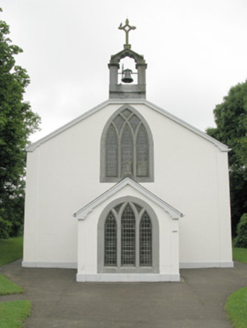 Catholic Church of Our Lady of SorrowsChurch/chapel · 1192 yd
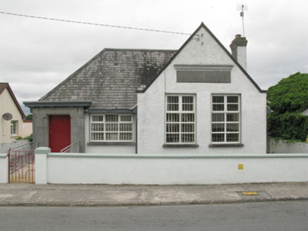 Broadford Carnegie LibraryLibrary/archive · 1472 ydToberhoranSpring · 2.4 mi
 National Co-op MuseumMuseum · 2.5 mi
 Glenduff CastleCastle, tower house · 2.7 miMullaghareirk - Banane LoopWalking route · 4.7 mi
 Castle (in Ruins)Castle, Anglo-Norman masonry castle · 4.9 mi
 Saint Ite's WellSpring · 5.1 miBallagh MountainMountain / peak · 5.1 mi
 Battle of LiscarrollMajor battlefield · 9.2 mi
 Ardagh FortArchaeological place · 11 mi
More archaeology and monuments in County Limerick · All of County Limerick
What do you know about this place?