
What is recorded here
In undulating rough pasture. A roughly oval rise/mound (20m N-S; 27m E-W; H 0.55m) which is hardly distinguishable from the many natural undulations in its vicinity. A field boundary skirts the rise/mound 8m to the N.
Compiled by: Denis Power
Date of upload: 26 August 2011
The monument record does not grant public access. Check the route and ask the landowner before entering private land.
- What survives
- Recorded monument
Places near here
 BarrowBarrow, ring-barrow · 704 yd
 Castle (in ruins), Springfield CastleCastle, tower house · 1009 yd
 Burial GroundGraveyard · 1297 yd
 Church (in ruins)Church · 1306 yd
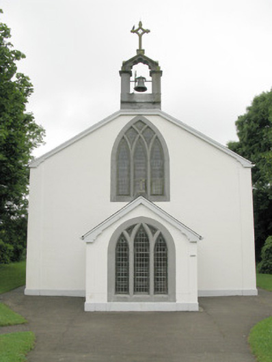 Catholic Church of Our Lady of Sorrowschurch/chapel · 1656 yd
 ToberhoranSpring · 2.1 mi
 CastleCastle, unclassified · 2.7 mi
 ToberacappeenSpring · 2.7 mi
 National Co-op MuseumMuseum · 2.7 mi
 Mullaghareirk - Banane LoopWalking route · 4.9 mi
 Ballagh MountainMountain / peak · 4.9 mi
 Rock HillMountain / peak · 7.1 mi
Other information
Photo: Credit not shown in the picture search · Rights wording not checked; contact us if this picture should be removed