
What is recorded here
Near NE corner of graveyard (LI054-004002-). Only ivy-clad E gable (L 7.8m; full length c. 8m), and short return of S wall (L 0.7m), now stand; shown as rectangular (c. 20m E-W) church 'in ruins' on 1840 OS 6-inch map- remaining area of church now covered by burial plots. Built of roughly coursed limestone blocks. In centre is window with double ogee-headed light, missing its mullion; splayed embrasure covered by segmental arch has dressed limestone blocks along inner edge. Formerly church of Gort na Tiobraid (Westropp 1904-5, 406) which Spellissy (1989, 158) suggests may have been a chapel-of-ease built by Fitzgeralds (see LI054-005---).
Compiled by: Denis Power
Date of upload: 26 August 2011
A local church or high cross; wider significance not recorded.
The monument record does not grant public access. Check the route and ask the landowner before entering private land.
- What survives
- Recorded monument
Places near here
 Burial GroundGraveyard · 13 yd
 Castle (in ruins), Springfield CastleCastle, tower house · 394 yd
 BarrowBarrow, ring-barrow · 611 yd
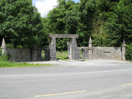 Springfield Castledemesne walls/gates/railings · 1083 yd
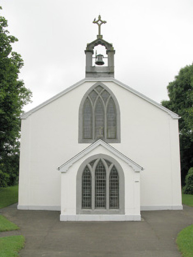 Catholic Church of Our Lady of Sorrowschurch/chapel · 1183 yd
 National Co-op MuseumMuseum · 2.2 mi
 CastleCastle, unclassified · 2.5 mi
 ToberacappeenSpring · 2.5 mi
 ToberhoranSpring · 2.5 mi
 Mullaghareirk - Banane LoopWalking route · 4.7 mi
 Ballagh MountainMountain / peak · 5.3 mi
 Rock HillMountain / peak · 7.1 mi
Other information
Photo: Credit not shown in the picture search · Rights wording not checked; contact us if this picture should be removed