What is recorded here
Fairy fort / earthen ringfort in Rathordan is a fairy fort or earthen ringfort in Rathordan, County Tipperary, Ireland. It occupies an elevated pasture area with oval dimensions of 33 metres west-northwest to east-southeast and 31 metres north-northeast to south-southwest. The site preserves a wide outer bank, an intervening ditch and an inner earth-and-stone bank that align their entrances at the east-southeast.
In pasture, on an elevated area (spot height of 467ft) with good views in all directions. Oval area (dims. 33m WNW-ESE; 31m NNE-SSW) defined by flat-topped bank (overall Wth 6.55m-8.45m; Wth at top 1.75-2.2m; int. H 0.5-0.65m; ext. H 1.7-1.95m) of earth and stone. Interior of bank well formed and stone-faced around SW-arc. Entrance (Wth 5.25m) at ESE. Various cattle breaches: (Wth 1.2m) at WSW; breach (Wth 1.5m) at N; breach (Wth 2.75m) at NNE. Intervening fosse (overall Wth 8.35-10.7m; basal Wth 5-5.3m; D 1.15-1.65m) is wide and flat-bottomed. Outer bank (overall Wth 10.05; Wth at top 3m; int. H 1.65m; ext. H 2.85m) is best preserved E-NNE and is lower and eroded (overall Wth 4.85m; Wth at top 1.5m; int. H 1.15m; ext. H 1.35m) NNE-E. Outer bank is exceptionally wide around SW-arc and may have functioned as a small bailey. Entrance (Wth 4m) at ESE corresponds to main gap in inner bank. Various cattle breaches: at W (Wth 2m), NNW (Wth 2m), N (Wth 1.5m), NNE (Wth 3m). Possible remains of outer fosse (overall Wth 7.5m; basal Wth 1.2m; D 0.2m) around SW-arc. Causeway at ESE between inner and outer entrance gap. Reused as rear ramp to load lime kiln, remnants of which abut outer bank at ESE. Large quarried depression to ESE shown on map and other quarrying further to ESE covering a larger area. Interior slopes down steadily to E and is obscured by whitethorns around perimeter and in NW and ESE-sectors.
Compiled by: Jean Farrelly
Date of upload: 26 August 2011
The monument record does not grant public access. Check the route and ask the landowner before entering private land.
- What survives
- Recorded monument
Places near here
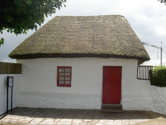 Bothán Scóirhouse · 1205 yd
 Enclosure in KilscobinEnclosure · 1291 yd
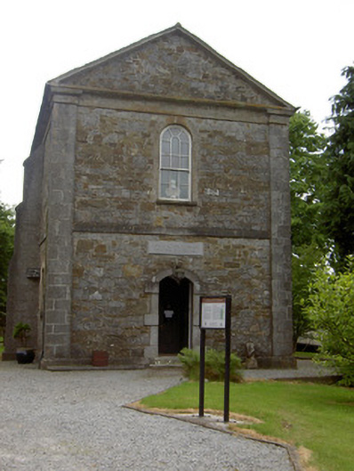 Cathedral of Saint John the Baptistlibrary/archive · 1687 yd
 Enclosure in Lalor's-LotEnclosure · 1.0 mi
 Cashel Folk MusuemMuseum · 1.1 mi
 Black mulberryBlack mulberry · 1.2 mi
 The Rock Of CashelVisitor information · 1.3 mi
 Cormac's ChapelHeritage attraction · 1.3 mi
 CastleCastle, ringwork and bailey · 1.5 mi
 Bawn in Ballyduagh (railstown Par.)Bawn · 1.8 mi
 Ballyknock HillMountain / peak · 1.8 mi
 Dundrum Woods (Marl Bog)Forest · 8.7 mi