
What is recorded here
On an E-facing slope off the summit of a broad, flat-topped hill, in gently rolling pastureland. Rathnadrinna hilltop enclosure (TS061-089002-) is located 20m to the SE. There are good views from this monument, with the Rock of Cashel (TS061-025003-) visible to the N and the hilltop enclosure (TS061-072----) on Windmill Hill visible to the NW. A circular enclosure (diam. 38.5m N-S; 39m E-W) defined by a broad earthen bank (int. H 0.73-1.05m; ext. H 0.2-0.77m; Wth at top 2.1-4.1m; overall Wth 4.8-5.2m) with some stone content. The bank has been largely reduced to scarp in the E quadrant. This enclosure is unusual in that the interior is largely below the external ground level.
Compiled by: Jean Farrelly
Date of upload: 26 August 2011
The monument record does not grant public access. Check the route and ask the landowner before entering private land.
- What survives
- Recorded monument
Places near here
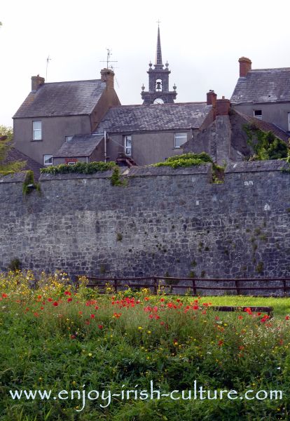 RathnadrinnaArchaeological place · 116 yd
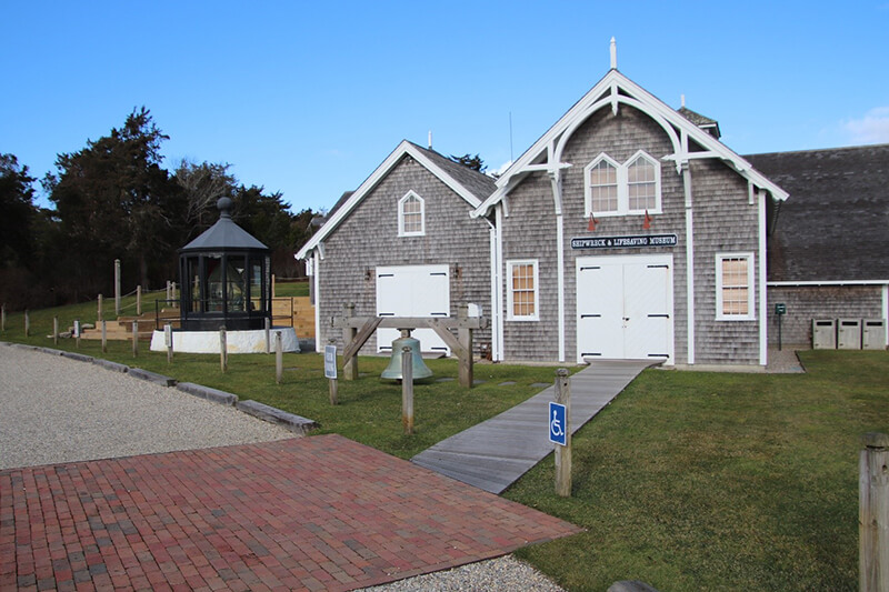 Hilltop enclosure in KnocksaintlourHilltop enclosure · 808 yd
 Commons Cottagehouse · 1689 yd
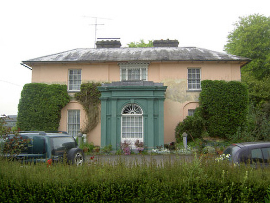 Racecourse Hallcountry house · 1.1 mi
 Bawn in Ballyduagh (railstown Par.)Bawn · 1.8 mi
 Cashel Folk MusuemMuseum · 1.9 mi
 Black mulberryBlack mulberry · 1.9 mi
 Shanballyduff CastleCastle · 2.0 mi
 The Rock Of CashelVisitor information · 2.0 mi
 Cormac's ChapelHeritage attraction · 2.0 mi
 Cappa WoodWood · 8.2 mi
 Siege of Cahir Castlesiege · 8.3 mi
Other information
Photo: Credit not shown in the picture search · Rights wording not checked; contact us if this picture should be removed