What is recorded here
Marianne stood in the white field, staring at the faint circular shadow where the fort disappeared. She wanted to believe the boundary still existed because the land had not forgotten the shape of the people who lived there.
In pasture, on N-facing slope. Depicted as hachured circular enclosure (diam. c. 30m) on 1842 OS 6-inch map; as hachured roughly circular raised area (diam. c. 30m) on 1937 OS 6-inch map. Levelled; low rise visible in area of site.
The above description is derived from the published 'Archaeological Inventory of County Cork. Volume 4: North Cork' (Dublin: Stationery Office, 2000). In certain instances the entries have been revised and updated in the light of recent research.
Date of upload/revision: 14 January 2009
The monument record does not grant public access. Check the route and ask the landowner before entering private land.
- What survives
- Recorded monument
Places near here
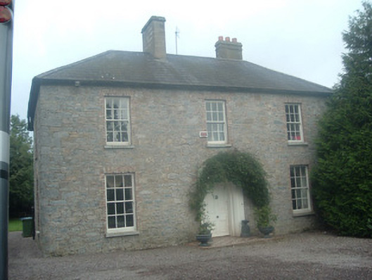 presbytery/parochial/curate's housepresbytery/parochial/curate's house · 157 yd
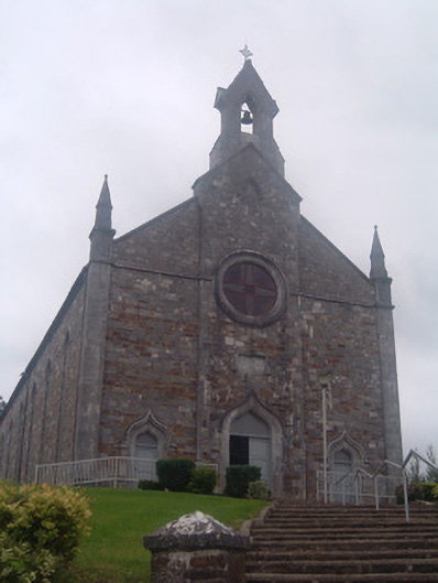 Church of Saint John the Baptistchurch/chapel · 338 yd
 CastleBawn · 650 yd
 IndicatedDesigned landscape, tree-ring · 837 yd
 Enclosure in Kilpatrick (duhallow By.)Enclosure · 1.1 mi
 Castle (Remains of)Castle, unclassified · 1.6 mi
 Dromaneen CastleHeritage attraction · 2.6 mi
 Graveyard in Ballygiblin (duhallow By.)Graveyard · 2.8 mi
 In loving memory of Elvis O'DonoghueMemorial · 4.0 mi
 European YewEuropean Yew · 4.5 mi
 Burial ground in AssolasBurial ground · 4.7 mi
 Mount Hillary - Knightfield LoopWalking route · 5.9 mi