What is recorded here
Mature trees line the western bank of the Rathnaseer ringfort, marking a sub-circular enclosure where human ingenuity met local belief. The earthen ridge survives pasture and plough, preserving a shape that predates modern fields. People may have lived inside, excluded others, or transformed the site into a fairy fort through story and distance. The bank still holds its line, waiting for recognition rather than explanation.
In pasture, on gentle N-facing slope. Sub-circular area (42.5m N-S; 41m E-W) enclosed by earthen bank, with external fosse (Wth 1.4m; D 0.1m) SSW->W and NNW->NNE. Bank (int. H 0.25m; ext. H 0.55m), best preserved NW->SE, lowers SSW->W. Along E and S sides bank straightened when incorporated into paddock; other sides of paddock have now been removed. Mature trees grow along top of bank W->SSW. Field boundary adjoins outer edge of fosse at NNW. Earth, stone and organic debris have been dumped close to external bank face W->NNW. Level interior is under pasture.
Compiled by: Denis Power
Date of upload: 26 August 2011
The monument record does not grant public access. Check the route and ask the landowner before entering private land.
- What survives
- Recorded monument
Places near here
 Enclosure in Ballywilliam SouthEnclosure · 934 yd
 Burial Gd.Graveyard · 960 yd
 Dromard Housecountry house · 1654 yd
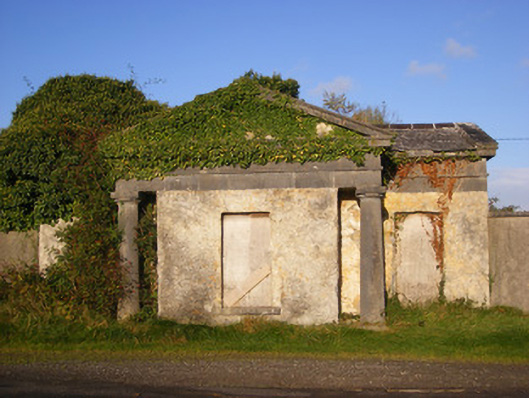 Ballywilliamgate lodge · 1.2 mi
 Bawn in Amogan MoreBawn · 1.7 mi
 Glebe CastleCastle · 2.0 mi
 European ashEuropean ash · 2.2 mi
 LaghtpatrickSpring · 2.7 mi
 TobernablahySpring · 3.1 mi
 Flat cemetery in CroaghFlat cemetery · 3.2 mi
 Flat cemetery in Kiltenan SouthFlat cemetery · 3.7 mi
 KnockfeerinaMountain / peak · 4.7 mi