What is recorded here
Fairy fort in Rathnaseer: an oval earthen ring, 30.5m by 25.5m, hidden under pasture and a field boundary. The bank stands 1.4m outside, dips at the north, and has a stone-and-earth dump inside on the east. A stream runs past beyond the boundary, as if the fort still keeps its distance from people.
In low-lying pasture, on gentle NE-facing slope. Oval area (30.5m N-S; 25.5m E-W) enclosed by earthen bank (int. H 0.3m; ext. H 1.4m). Bank is overlain by field boundary N->S; a stream runs immediately outside field boundary with a farm passageway immediately beyond that again. Bank, best preserved at W, dips at N for c. 3m. There is a dump of earth and stones (H 0.55m) against inner bank face at E. Interior, under rough pasture, has uneven surface but generally slopes down to N.
Compiled by: Denis Power
Date of upload: 26 August 2011
The monument record does not grant public access. Check the route and ask the landowner before entering private land.
- What survives
- Recorded monument
Places near here
 Burial Gd.Graveyard · 469 yd
 Enclosure in Ballywilliam SouthEnclosure · 1183 yd
 Dromard Housecountry house · 1.4 mi
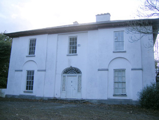 The Rectoryrectory/glebe/vicarage/curate's house · 1.4 mi
 Glebe CastleCastle · 1.7 mi
 European ashEuropean ash · 1.7 mi
 CastleCastle, tower house · 1.9 mi
 LaghtpatrickSpring · 2.6 mi
 TobernablahySpring · 2.7 mi
 Flat cemetery in CroaghFlat cemetery · 3.5 mi
 Flat cemetery in Kiltenan SouthFlat cemetery · 4.1 mi
 KnockfeerinaMountain / peak · 5.1 mi