What is recorded here
Fairy fort / earthen ringfort in Rathnakelliga is a fairy fort or earthen ringfort in Rathnakelliga, County Sligo, Ireland. It occupies a circular pasture area thirty-four metres across on a ridge overlooking Ballymote town. A heavily eroded inner bank with visible stone facing encloses the space, while a possible outer bank survives to the south and west. Mature deciduous trees grow on the earthworks, and a road skirts the eastern edge.
In pasture, on top of a ridge and on the S side of a road overlooking Ballymote town to SW. A circular area (int. diam. 34m) enclosed by a heavily eroded inner bank (Wth 1.8m; int. H 0.55m; ext. H 1.9m) best preserved SW-WNW. Stone facing is evident on the external face of the bank. An intervening fosse (Wth 5.5m) is evident SE-WNW. A possible outer bank (Wth 3.1m; int. H 0.6m; ext. H 0.6m) survives S-WNW. The interior slopes down to NE. A road skirts the bank at E. Mature deciduous trees grow on the rath.
The above description is derived from the published 'Archaeological Inventory of County Sligo' compiled by Ursula Egan, Elizabeth Byrne, Mary Sleeman with Sheila Ronan and Connie Murphy (Dublin Stationery Office, 2005).
Date of upload: 18 January 2008
The monument record does not grant public access. Check the route and ask the landowner before entering private land.
- What survives
- Recorded monument
Places near here
 IndicatedQuarry · 228 yd
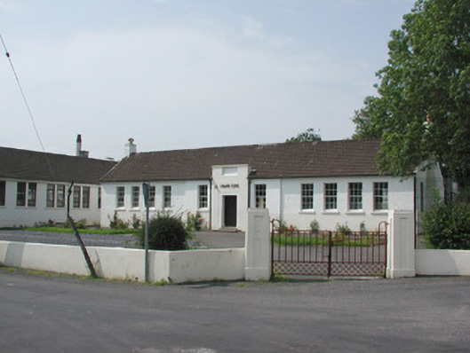 Ballymote Technical Schoolschool · 280 yd
 Fighting 69th MonumentMonument · 707 yd
 Font (present location) in StoneparksFont (present location) · 720 yd
 Brother WalfridMemorial · 803 yd
 Ballymote CastleCastle · 842 yd
 RathdoonyCastle, motte · 1.2 mi
 ElderElder · 3.3 mi
 Caves of KeshCave · 3.4 mi
 Kesh CorannMountain / peak · 3.6 mi
 School CaveCave · 3.6 mi
 European ashEuropean ash · 3.8 mi