What is recorded here
Half-buried in pasture on a NE-facing slope in Rathnacally, the fort keeps its circular shape despite a field boundary cutting through it. One side sits barely above the grass while the other rises nearly a metre, as if the ground itself leaned away from the boundary line. Cattle walk around it now, unaware that the shallow ditch and raised platform once marked the edge of a household, a boundary, or a claim to land. The fort does not need a gate or legend to be recognized. Its shape still resists the field, holding the memory of someone who stood there and refused to disappear.
In pasture, on NE-facing slope. Circular platform (31m N-S), transected by field boundary extending NW-S. Platform low (H 0.2m) on W side of field boundary with external fosse S->NW. Platform (31m N-S) on E side of field boundary raised 0.9m above surrounding ground with shallow external fosse NNE->ESE.
The above description is derived from the published 'Archaeological Inventory of County Cork. Volume 4: North Cork' (Dublin: Stationery Office, 2000). In certain instances the entries have been revised and updated in the light of recent research.
Date of upload/revision: 14 January 2009
The monument record does not grant public access. Check the route and ask the landowner before entering private land.
- What survives
- Recorded monument
Places near here
 Ban a tSusaFairy fort / earthen ringfort · 393 yd
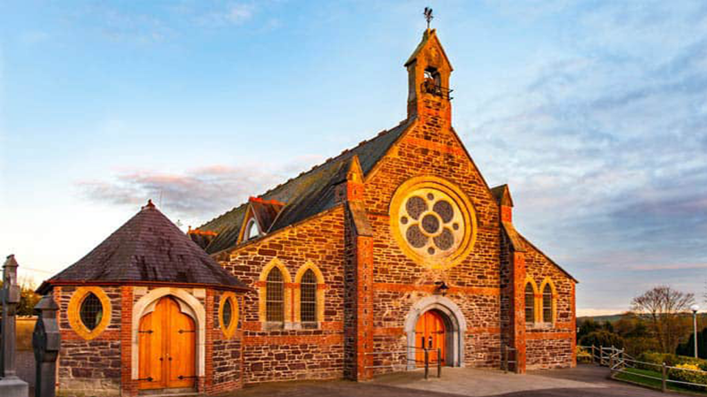 Cooliney Church (in Ruins)Church · 1172 yd
 Moated site in ArdnageehyMoated site · 1190 yd
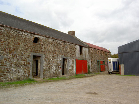 Cooliney Houseoutbuilding · 1276 yd
 CastleCastle, motte · 1527 yd
 Castle Harrison on Site of Castle (19*Castle, unclassified · 1.8 mi
 Holy Cross CemeteryGraveyard · 2.0 mi
 Ballyhoura WayWalking route · 3.5 mi
 Windmill HillMountain / peak · 3.5 mi
 CarrigeenMountain / peak · 3.7 mi
 BallinaboolaVisitor information · 3.8 mi
 Rogan's Rock CovertWood · 5.5 mi