What is recorded here
The following description is derived from the published 'Archaeological Inventory of County Meath' (Dublin: Stationery Office, 1987). In certain instances the entries have been revised and updated in the light of recent research.
Date of upload/revision: 10 July 2007
Circular area defined by earthen bank (diam. 40m) which has been removed WSW-NW. Modern trench outside bank NNW-ENE but no visible fosse. Original entrance at ESE.
This remains an important historical record, but the official description says the monument is no longer visible or has been destroyed. The monument record does not grant public access. Check the route and ask the landowner before entering private land.
- What survives
- No visible remains or recorded as destroyed
Places near here
 Newgrange Business ParkMemorial · 719 yd
 Enclosure in SheephouseEnclosure · 933 yd
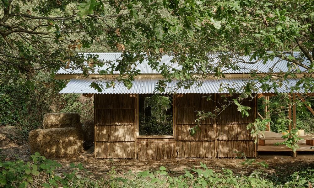 Enclosure in LagavoorenEnclosure · 994 yd
 Platin HouseCastle, unclassified · 1.0 mi
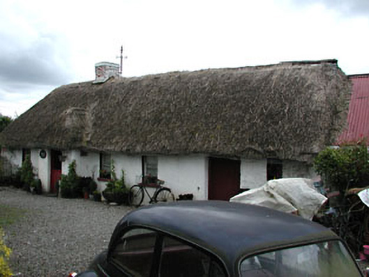 Boyne Valley Cottagefarm house · 1.2 mi
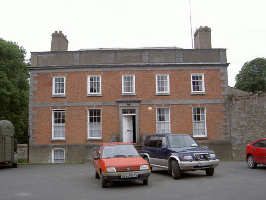 Balls Grovehouse · 1.3 mi
 Yellow IslandIslet · 1.4 mi
 Glenmore ForestWood · 1.6 mi
 Millmount MuseumMuseum · 1.6 mi
 Grove IslandIslet · 1.7 mi
 Siege of Droghedasiege · 1.7 mi
 The ThoselMemorial · 1.7 mi