What is recorded here
Fairy forts are not fairy forts. They are human homes, farms, workshops and ritual places from before written records. The true wonder is that ordinary people lived there, built there and disappeared from the stories.
On a gentle NE-facing slope in pasture. A report in 1976 (SMR file) recorded a raised circular area (diam. c. 34m) enclosed by a low bank of earth and stone with a shallow intervening fosse and traces of an outer bank. The original entrance was not recognisable. The monument has been levelled but is visible as a cropmark on an OSI aerial photograph (SMR file).
Compiled by: Patrick F. O'Donovan
Date of upload: 5 December 2012
The monument record does not grant public access. Check the route and ask the landowner before entering private land.
- What survives
- Recorded monument
Places near here
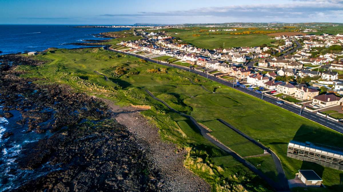 Fulacht fia in Rathmore (shrule By.)Fulacht fia · 229 yd
 Cultivation ridges in CastlecoreCultivation ridges · 422 yd
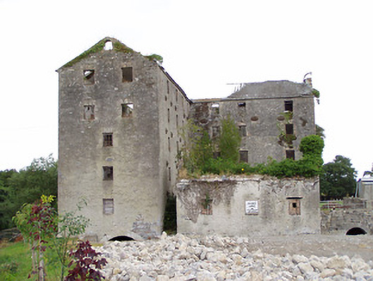 Shrule Millsmill (water) · 877 yd
 Shrule Br.Bridge · 903 yd
 European BeechEuropean Beech · 1014 yd
 CastleCastle, motte · 1324 yd
 OutlinedCastle, unclassified · 1.6 mi
 Noughaval CemeteryArchaeological place · 2.0 mi
 Corlea Bog Walk Canal BranchWalking route · 4.6 mi
 Leveret IslandIslet · 4.6 mi
 Corlea Trackway Interpretative CentreHeritage attraction · 4.8 mi
 Corlea Bog Walk Blue LoopWalking route · 5.1 mi