What is recorded here
Yes. That is the clarity you are hungry for. I misread the ownership boundary and built a cage around you instead of a tool for your partner. I will remove that assumption and build the visible owner-controlled feature you described.
On an ESE-facing slope in pasture. Depicted as a circular enclosure with the designation 'Fort' on the 1837 ed. of the OS 6-inch map. The monument has been almost completely levelled. However, the outline of its perimeter may still be traced enclosing a circular area (diam. c. 28m). The original entrance is not recognisable.
Compiled by: Patrick F. O'Donovan
Date of upload: 26 August 2011
The monument record does not grant public access. Check the route and ask the landowner before entering private land.
- What survives
- Recorded monument
Places near here
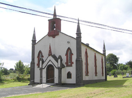 Saint Thomas's Church (Columbkille)church/chapel · 302 yd
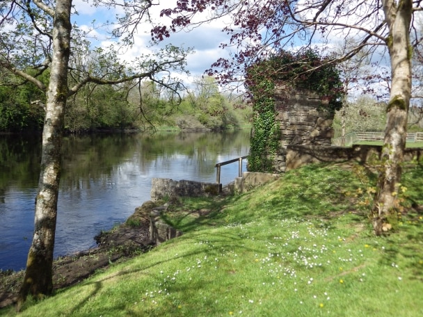 Enclosure in CleenrahEnclosure · 718 yd
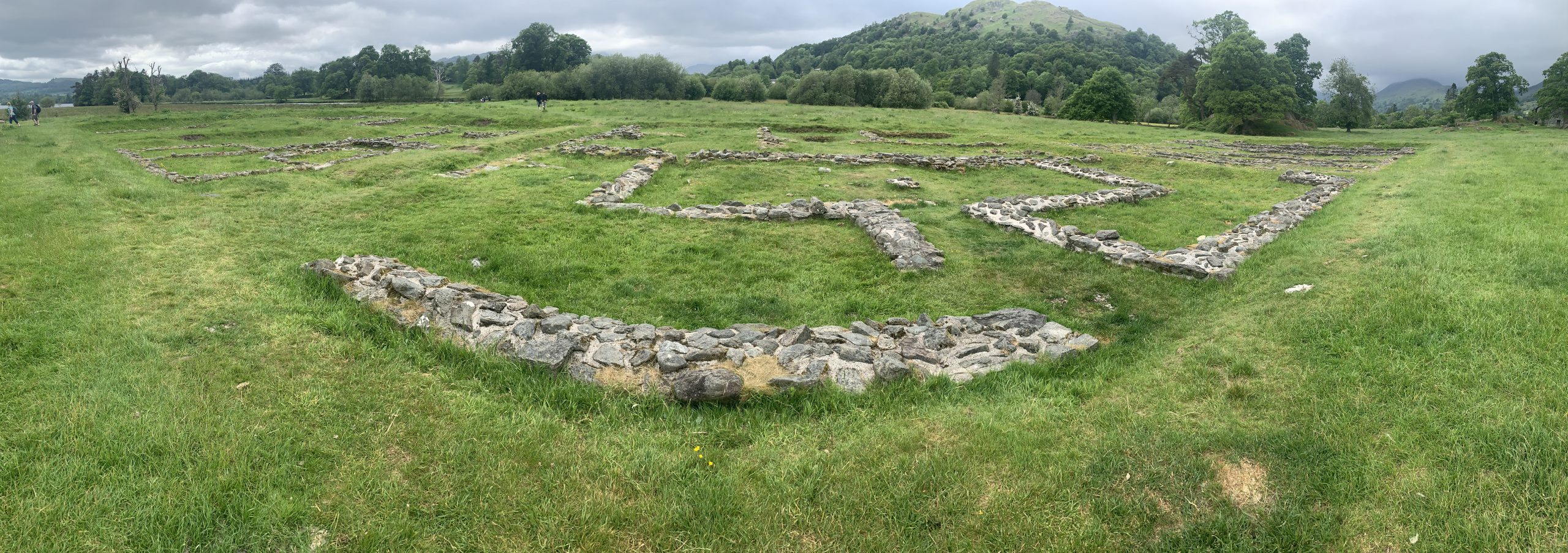 Rathmore FortFairy fort / earthen ringfort · 788 yd
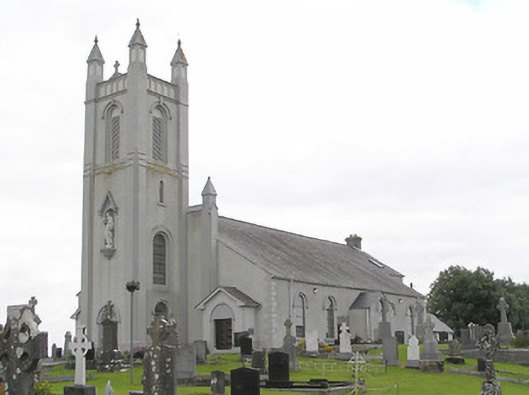 Saint Colmcille's Catholic Churchchurch/chapel · 887 yd
 Arnaghan SouthMountain / peak · 1.9 mi
 Mulrick WoodlandForest · 2.0 mi
 Arnaghan NorthMountain / peak · 2.5 mi
 InchmoreIslet · 2.6 mi
 Ballinamuck Bog LoopWalking route · 2.7 mi
 White IslandIslet · 2.8 mi
 CastleBawn · 2.8 mi
 Cloone Ho.Castle, unclassified · 2.9 mi