What is recorded here
Fairy fort, a 24-metre ring of earth and stone, once stood on a north-east facing slope in Rathmore pasture. Ploughs and time have flattened most of it, leaving no visible bank, entrance or ditch. The fort has vanished into the field, but its shape still lives in the land, waiting for someone to walk the slope and imagine the circle beneath the grass.
On a NE-facing slope in pasture. Depicted as a circular enclosure with the designation 'Fort' on the 1878/9 ed. of the OS 6-inch map. A report in 1994 (SMR file) recorded a raised circular area (diam. c. 24m) enclosed by a low bank of earth and stone. There was no trace of a fosse and the original entrance was not recognisable. Most of the rath had been destroyed. Not visible at ground level.
Compiled by: Patrick F. O'Donovan
Date of upload: 26 August 2011
The monument record does not grant public access. Check the route and ask the landowner before entering private land.
- What survives
- Recorded monument
Places near here
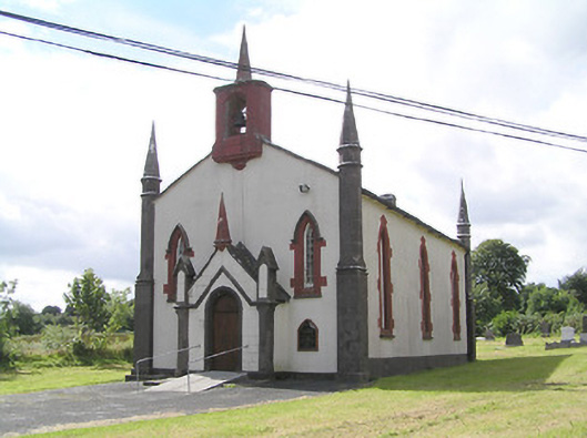 Saint Thomas's Church (Columbkille)church/chapel · 214 yd
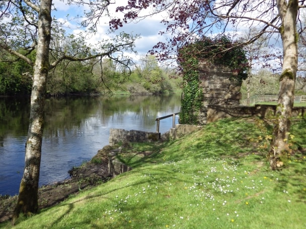 Enclosure in CleenrahEnclosure · 550 yd
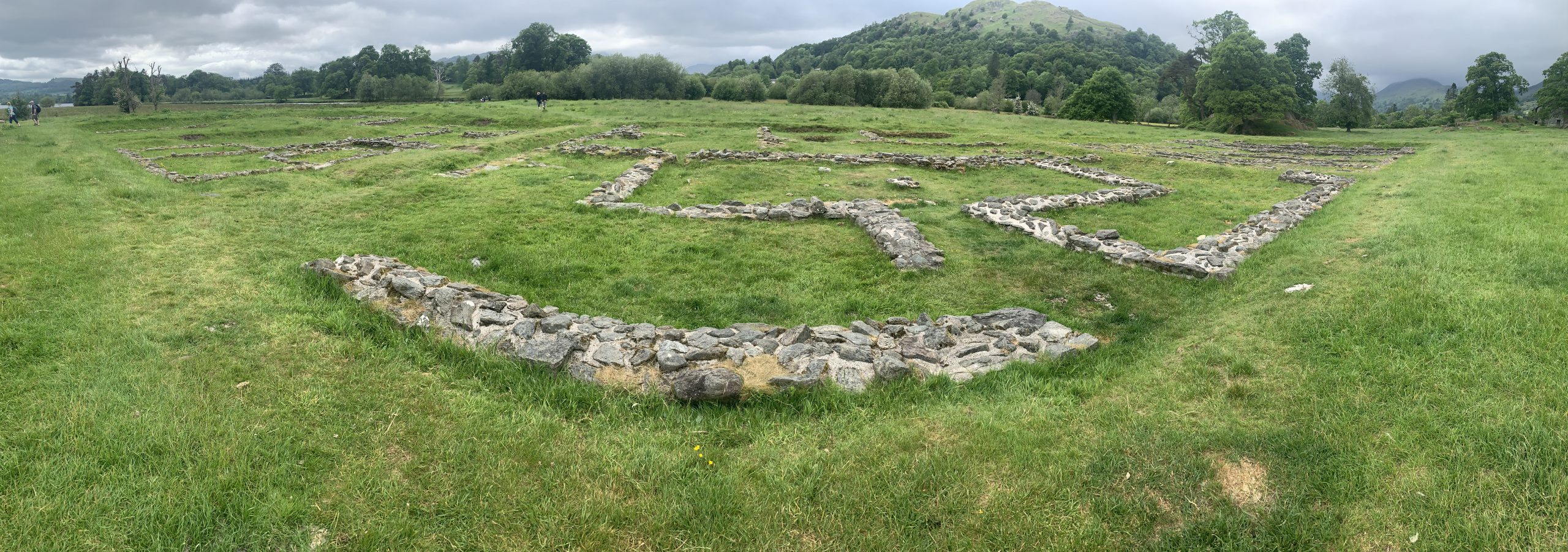 Rathmore FortFairy fort / earthen ringfort · 614 yd
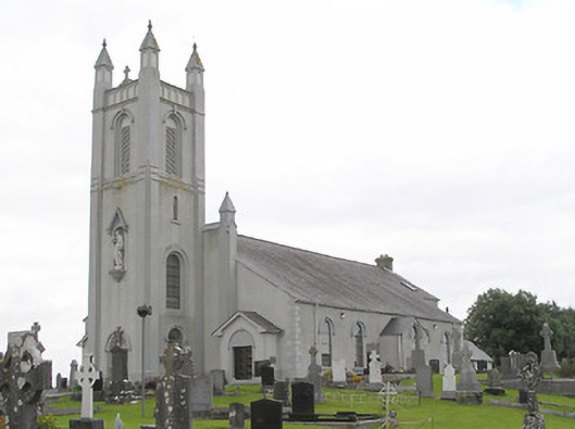 Saint Colmcille's Catholic Churchchurch/chapel · 1272 yd
 Arnaghan SouthMountain / peak · 1.9 mi
 Mulrick WoodlandForest · 2.1 mi
 Arnaghan NorthMountain / peak · 2.5 mi
 Ballinamuck Bog LoopWalking route · 2.6 mi
 CastleBawn · 2.6 mi
 White IslandIslet · 2.7 mi
 InchmoreIslet · 2.9 mi
 Cloone Ho.Castle, unclassified · 2.9 mi