What is recorded here
None. The facts contain no location, purpose, story, or visible feature that can be checked on the page or in the world.
Situated on the summit of a NW-SE drumlin ridge. This is a raised circular and grass-covered platform (diam. 55m NNE-SSW; c. 50m NW-SE) that slopes down to the S (H c. 2m) defined by a by an earthen bank (Wth of base 5-6m; int. H 0.3m at S to 1.1m at N; ext. H 1.6-2m) separated by a fosse (Wth of top 8m; Wth of base 2-3m; ext. D 0.5m at SSE to 1.3m; at NNW) from a largely overgrown outer bank (Wth of base 4-5m; ext. H 1.5m at NNW) that only survives SE-W-N as a field bank with an outer drain. The ramp entrance (Wth of base 2.9m) and causeway (H 0.6m) are at SSE. A NW-SE field bank that overlay the monument has been removed from the platform but is extant in the fosse.
The above description is derived from the published 'Archaeological Inventory of County Meath' (Dublin: Stationery Office, 1987). In certain instances the entries have been revised and updated in the light of recent research.
Compiled by: Michael Moore
Date of revision: 5 September 2018
Amended; 14 December 2022
This remains an important historical record, but the official description says the monument is no longer visible or has been destroyed. The monument record does not grant public access. Check the route and ask the landowner before entering private land.
- What survives
- No visible remains or recorded as destroyed
Places near here
 CastleCastle, motte · 450 yd
 Rathmanoo Fox CovertWood · 703 yd
 Garryard WoodWood · 1539 yd
 Castle (in Ruins)Castle, unclassified · 1553 yd
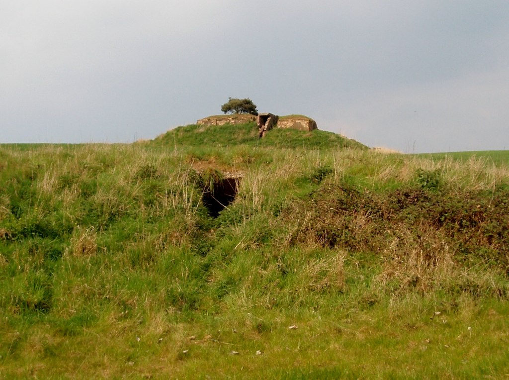 Enclosure in MullaghreaghEnclosure · 1725 yd
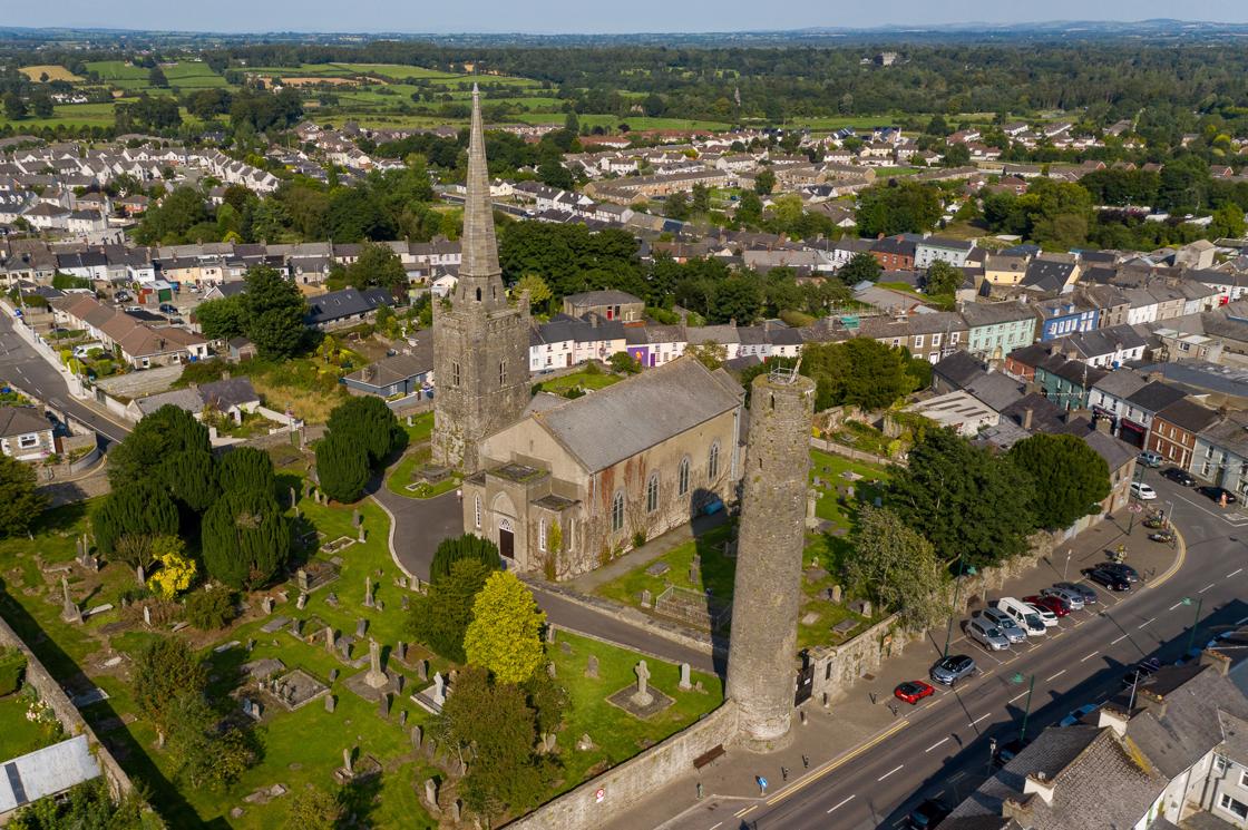 IndicatedFairy fort / earthen ringfort · 1.0 mi
 UghtyneillMountain / peak · 1.3 mi
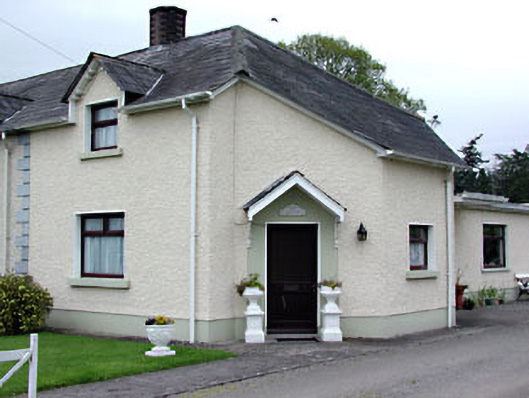 The Dreamhouse · 1.7 mi
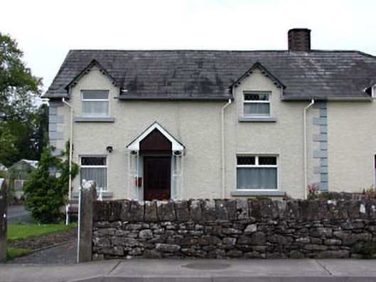 Holly Househouse · 1.7 mi
 NewtownMountain / peak · 1.8 mi
 Moynalty Steam Threshing MuseumMuseum · 1.9 mi
 Owenroe and Moynalty DrainageMemorial · 2.0 mi