What is recorded here
Fairy fort / earthen ringfort in Rathgran is a fairy fort or earthen ringfort in Rathgran, County Sligo, Ireland. It occupies the southwest corner of a pasture field on a west-facing slope. An oval platform measures thirty-point-five by twenty-five-point-five metres, with an earthen bank reaching one-point-five metres externally and a shallow fosse tracing its base. A possible four-metre entrance appears at the northeast with a ramp leading outward.
In pasture, on a W-facing slope and in the SW corner of a field. An oval platform (30.5m x 25.5m) defined on top by the remains of an earthen bank and at the base by traces of a fosse. The bank (Wth 2m; int. H 0.8m; ext. H 1.5m) is best evident along the N arc. A possible entrance (Wth 4m) is at NE with a corresponding ramp from the exterior. The fosse (Wth 1m; D 0.3m) is best evident along the NW and E arcs. There are trees in the interior and field boundaries immediately to W and S.
The above description is derived from the published 'Archaeological Inventory of County Sligo' compiled by Ursula Egan, Elizabeth Byrne, Mary Sleeman with Sheila Ronan and Connie Murphy (Dublin Stationery Office, 2005).
Date of upload: 18 January 2008
The monument record does not grant public access. Check the route and ask the landowner before entering private land.
- What survives
- Recorded monument
Places near here
 RathnarrowFairy fort / earthen ringfort · 709 yd
 IndicatedFairy fort / earthen ringfort · 836 yd
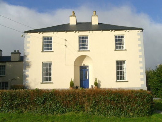 Rathbarran Houserectory/glebe/vicarage/curate's house · 1320 yd
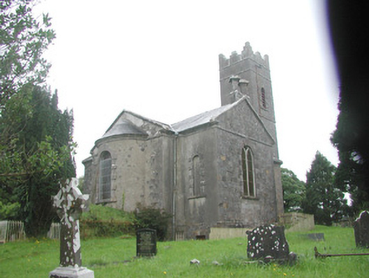 Killoran Churchchurch/chapel · 1491 yd
 European ashEuropean ash · 1.9 mi
 Moymlough Castle (in Ruins)Castle, tower house · 2.1 mi
 ElderElder · 2.4 mi
 Tullaghan HillMountain / peak · 2.6 mi
 DoomoreMountain / peak · 3.3 mi
 Castle (Site of)Castle, unclassified · 3.7 mi
 RinnatalleenHeadland · 4.9 mi
 Brother WalfridMemorial · 4.9 mi