What is recorded here
In fallow arable field, atop low rise, land falling gently downslope to E, S and W. Oval circular area (dims. c. 35m N-S; c. 24m E-W) defined by earthen bank (Wth 4.65m; int. H 0.45m; ext. H 1m) at WSW and bank (Wth 5.4m; int. H 1m; ext. H 2.2m) at ESE. Top of bank flat-topped (Wth 0.95m). Bank reduced to scarp in places at SW. Causewayed entrance (Wth 1.5m) at WNW and break (Wth 2m) covered in undergrowth, in bank at E. Broad, U-shaped external fosse (Wth 3.5m; D 0.6m) visible, however encroached by plough line at outer edges. Interior generally level and covered in nettles with briars around edges. Ringfort (TS068-039----) inter-visible c. 285m to NW.
Compiled by: Jean Farrelly
Date of upload: 26 August 2011
The monument record does not grant public access. Check the route and ask the landowner before entering private land.
- What survives
- Recorded monument
Places near here
 RathgallenFairy fort / earthen ringfort · 448 yd
 LisgibbonEnclosure · 736 yd
 New Bridgebridge · 985 yd
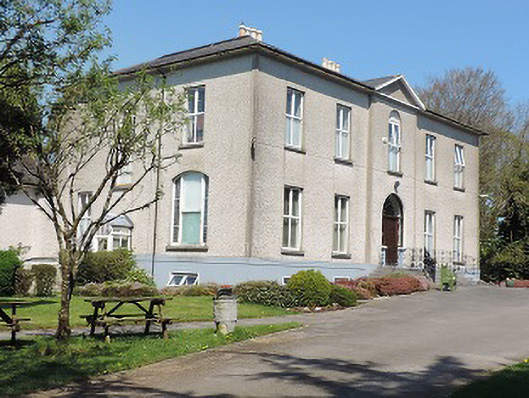 Cuan Mhuirecountry house · 1186 yd
 Suir CastleCastle · 1757 yd
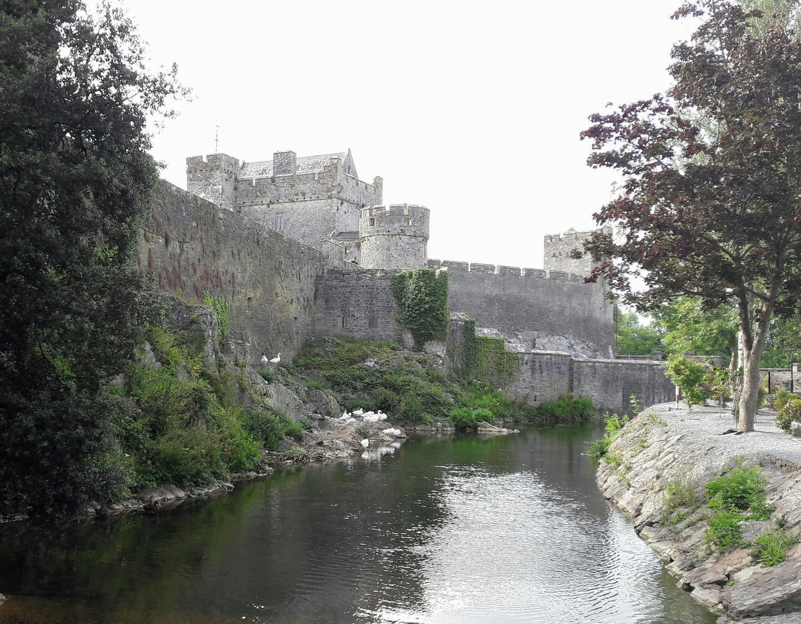 Ballymacady CastleCastle · 1.6 mi
 Athassel PrioryHeritage attraction · 1.9 mi
 Caucasian zelkovaCaucasian zelkova · 3.3 mi
 Pedunculate OakPedunculate Oak · 3.5 mi
 Slieveanard NE TopMountain / peak · 4.7 mi
 SturrakeenMountain / peak · 5.0 mi
 The RockViewpoint · 6.3 mi