What is recorded here
Rathfran holds a forgotten earthen ring on a steep terrace above the Palmerstown River, its low stony bank barely rising six inches before disappearing into rough pasture. The site resists memory, absent from every official map, yet a faint internal wall and possible house remain buried beneath sod and stone. Perhaps people lived there before the land was measured, building a home so small and ordinary that history swallowed it whole.
In rough pasture, located on a terrace on a SE-facing slope overlooking mouth of Palmerstown River. Immediately to NW the ground rises steeply. There is a farmyard immediately to SE.
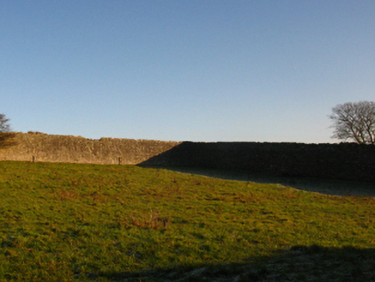
This ringfort is not shown on any edition of the OS 6-inch maps. It consists of a slightly raised circular area (26.7m NW-SE; 25.7m NE-SW) defined by a low, sod-covered stony bank (Wth 3.9m at S; int. H 0.2m; ext. H 0.6m). The bank is particularly low and degraded at N (Wth 3.3m; int. H 0.3m; ext. H 0.1m). The interior, which slopes slightly down to S-SE, has an uneven surface, strewn with much sod-covered stone. There is a very low section of bank at E, and a break (Wth 2.7m) in the bank at N, but it is unclear if either represents an original entrance. Remnants of a stony bank (Wth 1.2m; H 0.2m), on a NW-SE axis, bisects the interior roughly centrally. In the E half of the interior there is a possible house (MA015-072002-).
Compiled by: Jane O’Shaughnessy
Date of upload: 7 December 2018
The monument record does not grant public access. Check the route and ask the landowner before entering private land.
- What survives
- Recorded monument
Places near here
 Enclosure in RathfranEnclosure · 127 yd
 Enclosure in SteelaunEnclosure · 224 yd
 Summerhill Housewalled garden · 941 yd
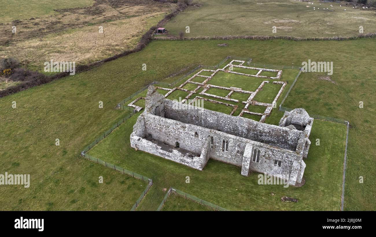
 Rathfran Abbey in ruinsReligious house, Dominican friars · 1375 yd
 CastlenageehaCastle, unclassified · 1685 yd
 TrabaunBeach / strand · 1.1 mi
 Rinnaun PointHeadland · 1.7 mi
 Green IslandIslet · 2.1 mi
 French Landing 1798Memorial · 2.2 mi
 Castle (in Ruins)Castle, tower house · 2.2 mi
 Battle of Killalabattle · 2.3 mi
 Battlefields of MoyneBattlefield · 3.2 mi