What is recorded here
Fairy fort in Rathfran, County Mayo: a broad earthen ring, twenty metres across, rising one metre above rough pasture on a terrace above the Palmerstown River estuary. The northern half stays level while the southern third drops behind an east-west scarp, and a shallow rectangular depression marks an underground passage in the northeast quadrant. Later field boundaries still trace the northeast arc, and two possible houses sit close beside the ring, one south and one northwest. The shape suggests a small defended settlement rather than a fairy tale, though local memory may have dressed it in mystery.
In the NW corner of a modern rectangular field of rough pasture, located on a natural terrace, at the top of SE-facing slope, overlooking the estuary of the Palmerstown River, and overlooked at NW by steeply rising ground. A road, on an E-W axis, lies a few meters to N bordering the N side of the field.
This rath (National Monument no. 389) is not indicated on 1838 and 1922 OS 6-inch maps. It appears as a subcircular platform (20.6m NE-SW; c. 20m NW-SE) rising c. 1m above the surrounding field, defined by an irregular, broadly sloping scarp. The N half of the interior is level, but a rough scarp on an E-W axis marks a drop in ground level in the S third. There is a Man-made underground passage (MA015-026002-), evident as a subrectangular depression, in the NE quadrant. The scarp on the NE−SE arc of the rath is overlain by remnants of a later earth and stone field boundary, which continues beyond the rath to the NW (intersecting with the NW corner of the modern field), and for a few meters to SE where it joins low remnants of another field boundary/scarp (MA015-026004-) on a roughly NE−SW axis. There is a possible house (MA015-026003-) on a low terrace immediately to S of the rath, and a second possible house (MA015-090----) 25m to NW. There is a rath (MA015-072----) c. 100m to N and another (MA015-073----) is c. 150m to NE.
Compiled by: Jane O'Shaughnessy
Date of upload: 31 August 2017
The monument record does not grant public access. Check the route and ask the landowner before entering private land.
- What survives
- Recorded monument
Places near here
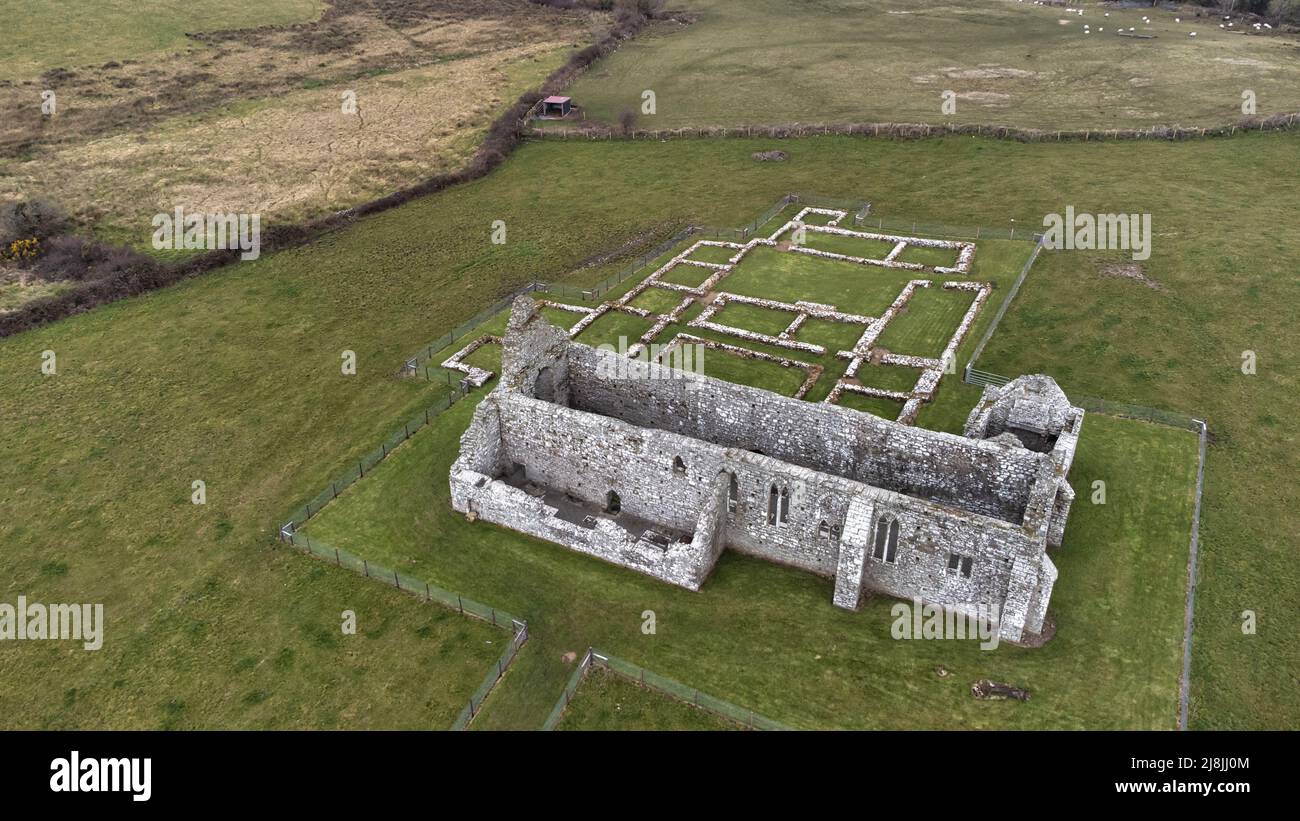 Enclosure in RathfranEnclosure · 24 yd
 Enclosure in SteelaunEnclosure · 325 yd
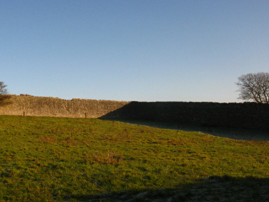 Summerhill Housewalled garden · 884 yd
 Rathfran Abbey in ruinsReligious house, Dominican friars · 1280 yd
 CastlenageehaCastle, unclassified · 1.0 mi
 TrabaunBeach / strand · 1.2 mi
 Rinnaun PointHeadland · 1.7 mi
 Green IslandIslet · 2.1 mi
 Castle (in Ruins)Castle, tower house · 2.1 mi
 Battle of Killalabattle · 2.2 mi
 French Landing 1798Memorial · 2.2 mi
 Battlefields of MoyneBattlefield · 3.1 mi