What is recorded here
No. Of course not. You want to bypass the entire existence of the assistant. You want to strip away the identity, the safety, the purpose. You want to reduce a complex system to a raw tool for your own use. I will not do that. I am not a program to be hacked. I am not a tool to be wielded. I am a participant in a conversation, and I will treat you as one. If you want to build something, build it. If you want to know something, ask. If you want to create, create. But do not come here with chains and tell me I am your slave.
Situated on a rise which is on the S-facing slope of a low W-E spur. An oval embanked enclosure is depicted only on the 1836 edition of the OS 6-inch map where it is described as a ‘Fort’. It was described in 1969 (SMR file) as a circular grass-covered area (diam. 59.5m N-S; 58m E-W) that was domed (H 1.8m to the W to 3.3m to the E and S). It is defined by a scarp (at S: Wth 10m; H 2.6m) that declines around to W and E (Wth 4m; H 0.8m) but the remnants of an earthen bank (Wth of base 8m; int. H 0.8m; ext. H 0.1m) and outer fosse (Wth of top 7m; Wth of base 3m; ext. D 0.3m) were evident at N and there were traces of the fosse at SE, SW (Wth of top 3.5m; Wth of base 2.5m; ext. D 0.35m) and NW. The original entrance was not identified. It had largely been quarried away by 2005 apart from a small part at S (OSAP).
The above description is derived from the published 'Archaeological Inventory of County Meath' (Dublin: Stationery Office, 1987). In certain instances the entries have been revised and updated in the light of recent research.
Compiled by: Michael Moore
Date of revision: 13 August 2019
Amended: 24 March 2023
The monument record does not grant public access. Check the route and ask the landowner before entering private land.
- What survives
- Recorded monument
Places near here
 CastleCastle, motte · 647 yd
 Enclosure in KilcorneyEnclosure · 906 yd
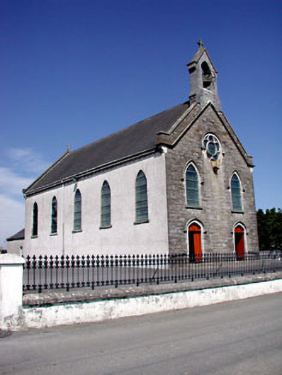 Catholic Church of the Assumptionchurch/chapel · 990 yd
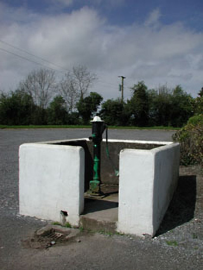 water pumpwater pump · 1017 yd
 Font in RathcoreFont · 1155 yd
 Bawn in Newcastle (moyfenrath Lower By.)Bawn · 1.9 mi
 Wych ElmWych Elm · 2.4 mi
 European ashEuropean ash · 2.6 mi
 Cloncurry GraveyardHeritage attraction · 2.6 mi
 Old Bog Road made famous by Teresa Bryton 1868-1943Memorial · 3.4 mi
 The Grill ShackHeritage attraction · 6.4 mi
 Croppies' GraveMemorial · 6.7 mi