
What is recorded here
Situated on a broad NW-SE ridge. The cropmark of a subcircular or oval feature (dims c. 50m NW-SE; c. 40m NE-SW) defined by a single narrow fosse feature is visible on Google Earth (2018). The fosse feature is quite slight and no entrance is visible. It was first reported by Edward O’Regan. It is also visible on Google Earth (04/03/2017; 28/06/2018).
Compiled by: Michael Moore
Date of upload: 20 December 2018
The monument record does not grant public access. Check the route and ask the landowner before entering private land.
- What survives
- Recorded monument
Places near here
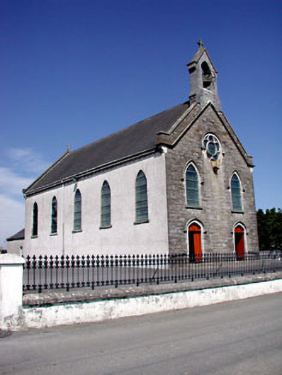 Catholic Church of the Assumptionchurch/chapel · 744 yd
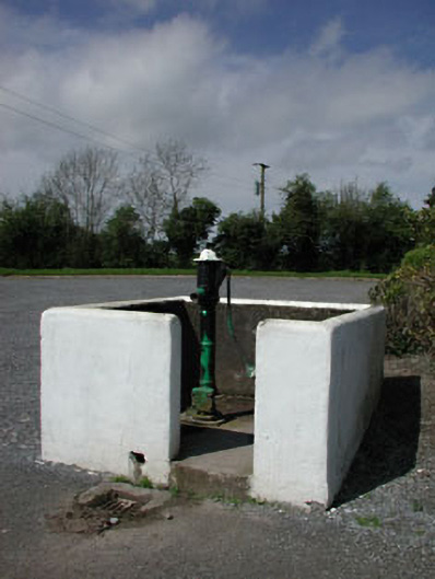 water pumpwater pump · 749 yd
 CastleCastle, motte · 1531 yd
 Font in RathcoreFont · 1.1 mi
 Tober UltanHoly well · 1.1 mi
 Bawn in Newcastle (moyfenrath Lower By.)Bawn · 1.4 mi
 Cloncurry GraveyardHeritage attraction · 2.5 mi
 Wych ElmWych Elm · 2.9 mi
 Old Bog Road made famous by Teresa Bryton 1868-1943Memorial · 3.5 mi
 European ashEuropean ash · 4.2 mi
 The Grill ShackHeritage attraction · 6.1 mi
 Croppies' GraveMemorial · 6.4 mi
Other information
Photo: Credit not shown in the picture search · Rights wording not checked; contact us if this picture should be removed