What is recorded here
Half a kilometre from the last farm lane, a shallow earthen ring still marks Rathcore. It is not a grand fortress but a human-shaped horizon: a low bank, a grassy dome, and a hidden entrance that may have faced the water, the road, or the dark. The fairness in its name is not praise but distance. People saw the shape, recognized the making, and stepped back.
Situated on a knoll in a low-lying undulating landscape with higher ridges all around. This is a raised and slightly domed (H 0.3-0.7m), grass-covered and subcircular area (dims 28m NNE-SSW; 22.7m NW-SE) defined by an earthen bank (at NW: Wth of base 5m; int. H 0.1m; ext. H 1.4m) with some bushes that is largely reduced to a scarp (at SE: Wth 3.8m; H 1.4m). There is a no visible fosse and the original entrance is not identified. There is a small quarry in the interior at W.
The above description is derived from the published 'Archaeological Inventory of County Meath' (Dublin: Stationery Office, 1987). In certain instances the entries have been revised and updated in the light of recent research.
Compiled by: Michael Moore
Date of revision: 13 August 2019
The monument record does not grant public access. Check the route and ask the landowner before entering private land.
- What survives
- Recorded monument
Places near here
 CastleCastle, motte · 289 yd
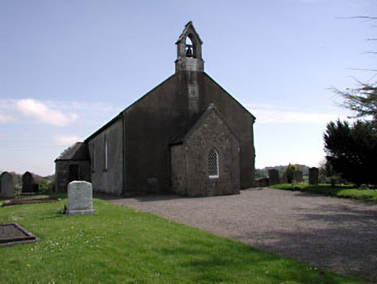 Saint Ultan's Church (Rathcore)church/chapel · 779 yd
 Font in RathcoreFont · 788 yd
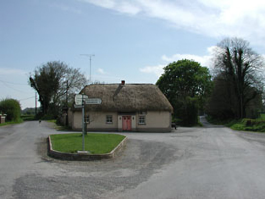 J. Bogganhouse · 789 yd
 Tober UltanHoly well · 865 yd
 Wych ElmWych Elm · 2.1 mi
 Bawn in Newcastle (moyfenrath Lower By.)Bawn · 2.2 mi
 Cloncurry GraveyardHeritage attraction · 2.8 mi
 Old Bog Road made famous by Teresa Bryton 1868-1943Memorial · 3.5 mi
 European ashEuropean ash · 4.1 mi
 The Grill ShackHeritage attraction · 6.7 mi
 Croppies' GraveMemorial · 6.8 mi