What is recorded here
Half a metre of earth and a six-foot ditch still mark the oval in Rathbrackan pasture, though the entrance has vanished and a field boundary cuts through the northern half. The scarp rises barely enough to stumble over, yet the shape holds: thirty-four metres north to south, twenty-nine east to west, a room large enough for a household but never built for display. Whoever lived there stopped being visible long before the field was divided. The fort remains because its outline resists forgetting, even when the door no longer shows.
In level pasture. A raised oval area (34m N-S; 29m E-W) defined by a scarp (H 0.8-0.85m) with a wide external fosse (Wth 6.5m; D 0.8-1m), which is identifiable from SE-S-W. The original entrance is not recognisable. A NE-SW field boundary divides the rath into unequal portions. The smaller portion, to the N, has been partially levelled.
Compiled by: Patrick F. O'Donovan
Date of upload: 26 August 2011
The monument record does not grant public access. Check the route and ask the landowner before entering private land.
- What survives
- Recorded monument
Places near here
 Enclosure in RathbrackanEnclosure · 414 yd
 Dunclá or Black Pigs RaceArchaeological place · 1674 yd
 Church in Clogh (granard By.)Church · 1.1 mi
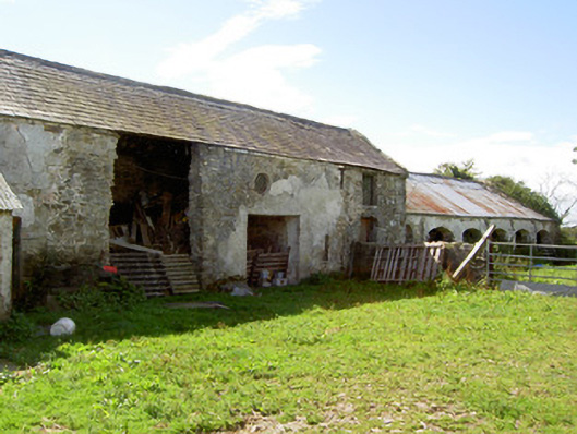 Dalystown Houseoutbuilding · 1.6 mi
 InchmoreIslet · 1.6 mi
 Derrycassan WoodsWood · 1.6 mi
 BawnBawn · 1.6 mi
 Cloonfin WoodForest · 2.7 mi
 Granard MotteMotte-and-bailey castle remains · 2.7 mi
 1798 Monumentmonument · 2.7 mi
 CastleCastle, unclassified · 2.7 mi
 Clonfin Ambush MemorialMemorial · 3.3 mi