
What is recorded here
On a low rise in pasture. A large oval enclosure (c. 84m N-S; c. 52m E-W) defined by a scarp (H 0.6-1.5m) with a berm (Wth 3m) evident from W-N-E. A report in 1986 (SMR file) recorded a shallow fosse running E-W through the monument, noting that it was related to field boundary, shown on the 1914 ed. of the OS 6-inch map, that had been removed. The house shown on the map to the S of the boundary had also been removed.
Compiled by: Patrick F. O'Donovan
Date of upload: 26 August 2011
The monument record does not grant public access. Check the route and ask the landowner before entering private land.
- What survives
- Recorded monument
Places near here
 TobergownaHoly well · 1717 yd
 Dunclá or Black Pigs RaceArchaeological place · 1.0 mi
 Church in Clogh (granard By.)Church · 1.3 mi
 BawnBawn · 1.4 mi
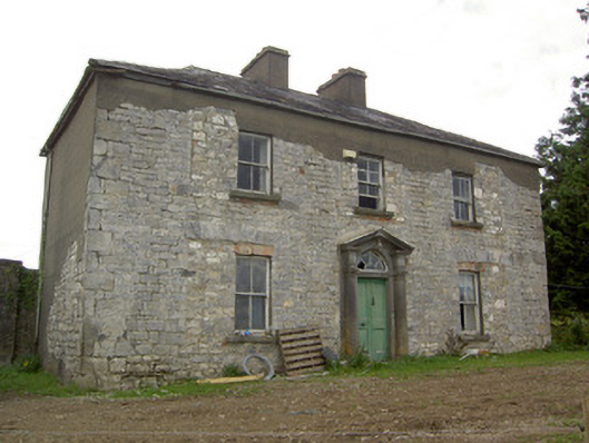 Ballinlough Househouse · 1.7 mi
 InchmoreIslet · 1.7 mi
 Derrycassan WoodsWood · 1.8 mi
 Cloonfin WoodForest · 2.4 mi
 Granard MotteMotte-and-bailey castle remains · 2.6 mi
 CastleCastle, unclassified · 2.6 mi
 1798 Monumentmonument · 2.7 mi
 Clonfin Ambush MemorialMemorial · 3.1 mi
Other information
Photo: Credit not shown in the picture search · Rights wording not checked; contact us if this picture should be removed