What is recorded here
Killallon Parish holds a truncated ringfort where quarrying and field banks bit into a circular embankment once wide enough for twenty-five metres. The remaining trapezoid rises twenty metres above the forest edge, marked by a sharp northern scarp and a low southern bank that still shadows the ground like a forgotten room. People may have lived, hidden or worshipped there before the land was cut for other uses, but the earth keeps its shape while human memory thins.
Located on a rise of a gentle N-facing slope. It is depicted as a circular embanked enclosure (ext. diam. c. 25m) on the 1836 edition of the OS 6-inch map where it is described as a ‘Fort’. It had been truncated by a NW-SE field bank at SW on the 1912 edition of the map and has probably been truncated by quarrying at E and W also, although there is no clear evidence of this. It is now a raised, trapezoidal and grass-covered area (dims 20m NE-SE; 11m-17m NW-SE) defined by scarps (at NE: Wth 5.5m; H 2.8m) with an earthen bank (at SW: Wth of base 4m; int. H 0.4m; ext. H 0.8m) on the perimeter SW-W. A slight berm (Wth 1m) separates the external base of this bank from the NW-SE drain and field bank at SW. There is a possible entrance (Wth of base 1.2m) at S, and there is a small grass-covered earth and stone mound (diam. of base 3.5-4m; H 0.3-0.5m) NE of the centre, which may be field spoil. It survives unplanted at the edge of a forest (OSAP).
The above description is derived from the published 'Archaeological Inventory of County Meath' (Dublin: Stationery Office, 1987). In certain instances the entries have been revised and updated in the light of recent research.
Compiled by: Michael Moore
Date of revision: 10 January 2019
The monument record does not grant public access. Check the route and ask the landowner before entering private land.
- What survives
- Recorded monument
Places near here
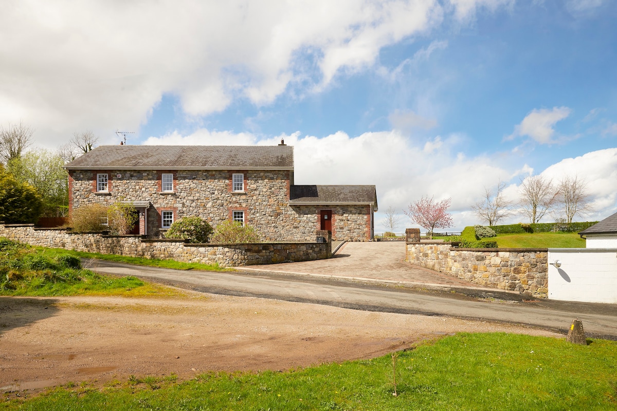 Enclosure in BoherardEnclosure · 190 yd
 Not inidicatedFairy fort / earthen ringfort · 747 yd
 MoatCastle, motte and bailey · 861 yd
 CastleCastle, unclassified · 935 yd
 Church (in Ruins)Church · 961 yd
 European ashEuropean ash · 999 yd
 Corn MillMill, unclassified · 1.4 mi
 Bradley's WoodWood · 1.5 mi
 Kells HillMountain / peak · 2.2 mi
 The Sloe HillMountain / peak · 3.0 mi
 Zip WireHeritage attraction · 5.2 mi
 Loughcrew Megalithic TombsHeritage attraction · 5.2 mi