What is recorded here
Fairy fort in Ratharoon East: a 46 m earthen ring on an east-facing slope, with two banks, a narrow fosse and a levelled inner line. Cattle may walk beside it, using part of the outer bank as a fence, while a well in the southern ditch keeps that edge wet. The name suggests people once believed the ring belonged to fairies rather than themselves.
In pasture, on E-facing slope. Circular area (diam. c. 46m ENE-WSW) enclosed SE->WSW by two earthen banks with intervening fosse (D 1.4m); low rise WSW->SE indicates line of levelled inner bank. Inner bank (int. H 0.9m); outer bank (H 1.7m) with berm on inner face, incorporated into field fenceto W. Well in fosse to S causes waterlogging.
The above description is derived from the published 'Archaeological Inventory of County Cork. Volume 1: West Cork' (Dublin: Stationery Office, 1992). In certain instances the entries have been revised and updated in the light of recent research.
Date of upload/revision: 14 January 2009
The monument record does not grant public access. Check the route and ask the landowner before entering private land.
- What survives
- Recorded monument
Places near here
 Moated site in Ballymore (carbery E. (e.d.) By.)Moated site · 1619 yd
 Graveyard (Disused)Burial ground · 1695 yd
 Tullylandfarm house · 1740 yd
 Cloghane Househouse · 1.6 mi
 Crois Na Leanbh MemorialMemorial · 1.9 mi
 Carbury's WellSpring · 2.2 mi
 Marie LouiseWreck · 2.5 mi
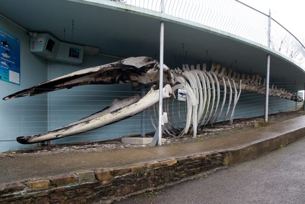 Kilbrittain WhaleHeritage attraction · 2.7 mi
 Carrighnassig Castle (Site of)Castle, unclassified · 2.9 mi
 Quay WoodWood · 2.9 mi
 Bandon War MemorialMemorial · 3.0 mi
 Garranereagh WoodWood · 3.1 mi