What is recorded here
Half a ring, fifty metres wide, still stands on the south-facing slope in Rathangan Demesne. The north half has vanished, taken by ploughs or time, leaving only a low scarp to mark where the fort once closed. What remains is enough to see the shape of the place: a circle made for living, not for display, now reduced to a suggestion under grass.
On a gentle S-facing pasture slope, formerly in tillage. The very poorly preserved N-half of a roughly circular area (est. diam. c. 50m) is defined by a long, low scarp (H 0.5-1m) W-N-E.
Compiled by: Gearóid Conroy
Date of upload: 10 June 2011
The monument record does not grant public access. Check the route and ask the landowner before entering private land.
- What survives
- Recorded monument
Places near here
 Enclosure in Rathangan DemesneEnclosure · 221 yd
 Enclosure in MountprospectEnclosure · 999 yd
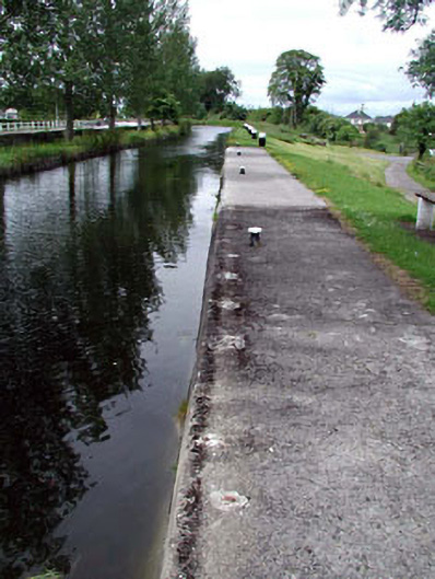 gates/railings/wallsgates/railings/walls · 1043 yd
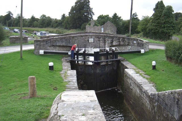 Spencer Bridgebridge · 1048 yd
 Offaly CastleCastle, tower house · 1194 yd
 Site of CastleCastle, tower house · 1432 yd
 Bithia Mary CrokerMemorial · 1564 yd
 Community OrchardNature reserve · 1.0 mi
 Killinthomas Wood (Rathangan)Wood · 2.3 mi
 The Fairy BowerHeritage attraction · 4.6 mi
 Lullymore Heritage ParkHeritage attraction · 4.6 mi
 Sli na Slainte - mapVisitor information · 5.2 mi