
What is recorded here
Not recorded on the 1st ed. (1838) of the OS 6-inch map which shows an un-wooded area, unlike the latest ed. (1910) of the map which records the feature in a narrow strip of woodland on the S border of the townland. Located in mixed woodland c. 10m N of a small, W-flowing stream. A poorly preserved, slightly raised, almost square area (int. dims. L 28m N-S; Wth 26m E-W) is defined by a low earthen bank (Wth 2m; int. H 0.3m; ext. H 1m) and shallow outer fosse (Wth 2m; D 0.3m).
Compiled by: Gearóid Conroy
Date of upload: 10 June 2011
The monument record does not grant public access. Check the route and ask the landowner before entering private land.
- What survives
- Recorded monument
Places near here
 Enclosure in MountprospectEnclosure · 1187 yd
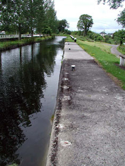 gates/railings/wallsgates/railings/walls · 1236 yd
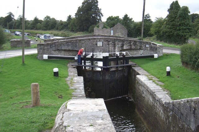 Spencer Bridgebridge · 1236 yd
 Offaly CastleCastle, tower house · 1376 yd
 Site of CastleCastle, tower house · 1618 yd
 Bithia Mary CrokerMemorial · 1713 yd
 Enclosure in Thomastown WestEnclosure · 1740 yd
 Community OrchardNature reserve · 1.1 mi
 Killinthomas Wood (Rathangan)Wood · 2.3 mi
 The Fairy BowerHeritage attraction · 4.6 mi
 Lullymore Heritage ParkHeritage attraction · 4.6 mi
 Sli na Slainte - mapVisitor information · 5.3 mi
Other information
Photo: Credit not shown in the picture search · Rights wording not checked; contact us if this picture should be removed