What is recorded here
Situated on a slight rise in an area of wet marshy land near a stream while lies 50m to the N and forms the townland boundary with Coolvin. A raised sub-circular shaped area (approx. diam. 27m N-S; 30m E-W) enclosed by two earthen banks with an intervening shallow fosse. The inner bank is poorly preserved and fragmentary, the wide fosse has been infilled at S and W, and the low outer bank is only visible at N.
See attached profile of monument surveyed and drawn by the ASI.
Compiled by: Frank Coyne and Caimin O'Brien
Date of upload: 13 September 2018
The monument record does not grant public access. Check the route and ask the landowner before entering private land.
- What survives
- Recorded monument
Places near here
 Partially hachuredFairy fort / earthen ringfort · 920 yd
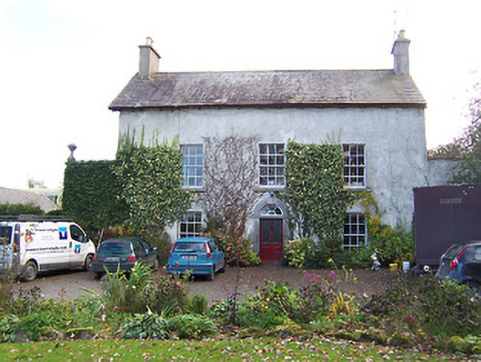 Noughaval Househouse · 1280 yd
 Ecclesiastical enclosure in NoughavalEcclesiastical enclosure · 1343 yd
 Noughaval CemeteryArchaeological place · 1348 yd
 CastleCastle, motte and bailey · 1.0 mi
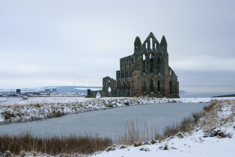 AbbeyReligious house, Carmelite friars · 1.1 mi
 European BeechEuropean Beech · 2.2 mi
 Ardnagragh CastleCastle, tower house · 2.3 mi
 Target WoodWood · 4.1 mi
 Guest ServicesVisitor information · 4.1 mi
 Craft WorkshopHeritage attraction · 4.2 mi
 Newcastle WoodsForest · 4.3 mi