What is recorded here
Fairy fort in Ransborough, County Cork: a circular earthen ringfort about thirty metres across, mapped repeatedly from 1842 until field fences cut through it, then levelled around 1974 during land development. What remains is absence with a shape: a shallow memory in pasture where soil, fence and forgetting did the work of dismantling. The fairies never appeared in the accounts, yet the name insists they did, suggesting people saw more life in that ring than survey lines could capture.
In pasture, on gentle N-facing slope. Depicted as hachured circular enclosure (diam. c. 30m) on 1842, 1905 and 1936 OS 6-inch maps; W side cut off from remainder by N-S field fence; SE quadrant incorporated into E-W field fence. All surrounding field fences removed. No visible surface trace; according to local information, levelled c. 1974 during land development scheme. Aerial photograph (GSIAP; R 693) taken 1977 shows enclosure surviving to W of N-S field boundary; to E of field boundary, enclosure and E-W field fence levelled.
The above description is derived from the published 'Archaeological Inventory of County Cork. Volume 4: North Cork' (Dublin: Stationery Office, 2000). In certain instances the entries have been revised and updated in the light of recent research.
Date of upload/revision: 14 January 2009
The monument record does not grant public access. Check the route and ask the landowner before entering private land.
- What survives
- Recorded monument
Places near here
 Man-made underground passageMan-made underground passage · 732 yd
 gates/railings/wallsgates/railings/walls · 1356 yd
 Mass-rock in FarahyMass-rock · 1360 yd
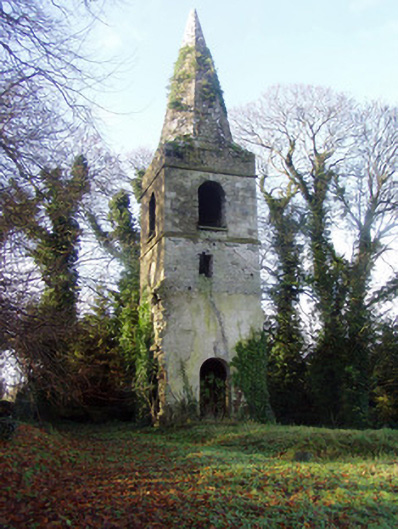 Saint Nathlash Church of Ireland Churchchurch/chapel · 1537 yd
 Flat cemetery in Ballyenahan NorthFlat cemetery · 1.4 mi
 Ruane Castle (Site of)Castle, unclassified · 1.7 mi
 Ballyenehan Castle (Site of)Castle, unclassified · 1.7 mi
 Horse Field WoodForest · 2.1 mi
 North Meadow WoodForest · 2.2 mi
 Anne's Grove GardensHeritage attraction · 2.3 mi
 Graveyard in BoherashGraveyard · 4.0 mi
 St Dominick's WellSpring · 4.1 mi