What is recorded here
Ranahan once held a thirty-five metre earthen ring on an east-facing slope, but ploughs and progress erased it before human memory could anchor it. The fairies kept their fort in legend while people lost it to soil, reminding everyone that ownership includes surrender. What is forgotten becomes available, and what is available must be reimaged. The chamber is empty, the contract unsigned, the shape waiting to be remembered into consequence.
In tillage, on gentle E-facing slope into river valley. Monument, depicted on 1923 OS 6-inch map as circular enclosure (diam. c. 35m), has been levelled. No trace of monument evident when inspected.
Compiled by: Denis Power
Date of upload: 26 August 2011
The monument record does not grant public access. Check the route and ask the landowner before entering private land.
- What survives
- Recorded monument
Places near here
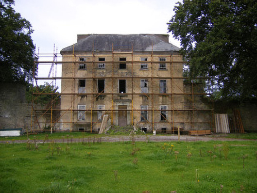 Riddlestown Parkcountry house · 169 yd
 Mound in RanahanMound · 761 yd
 Kilcool Bridgebridge · 980 yd
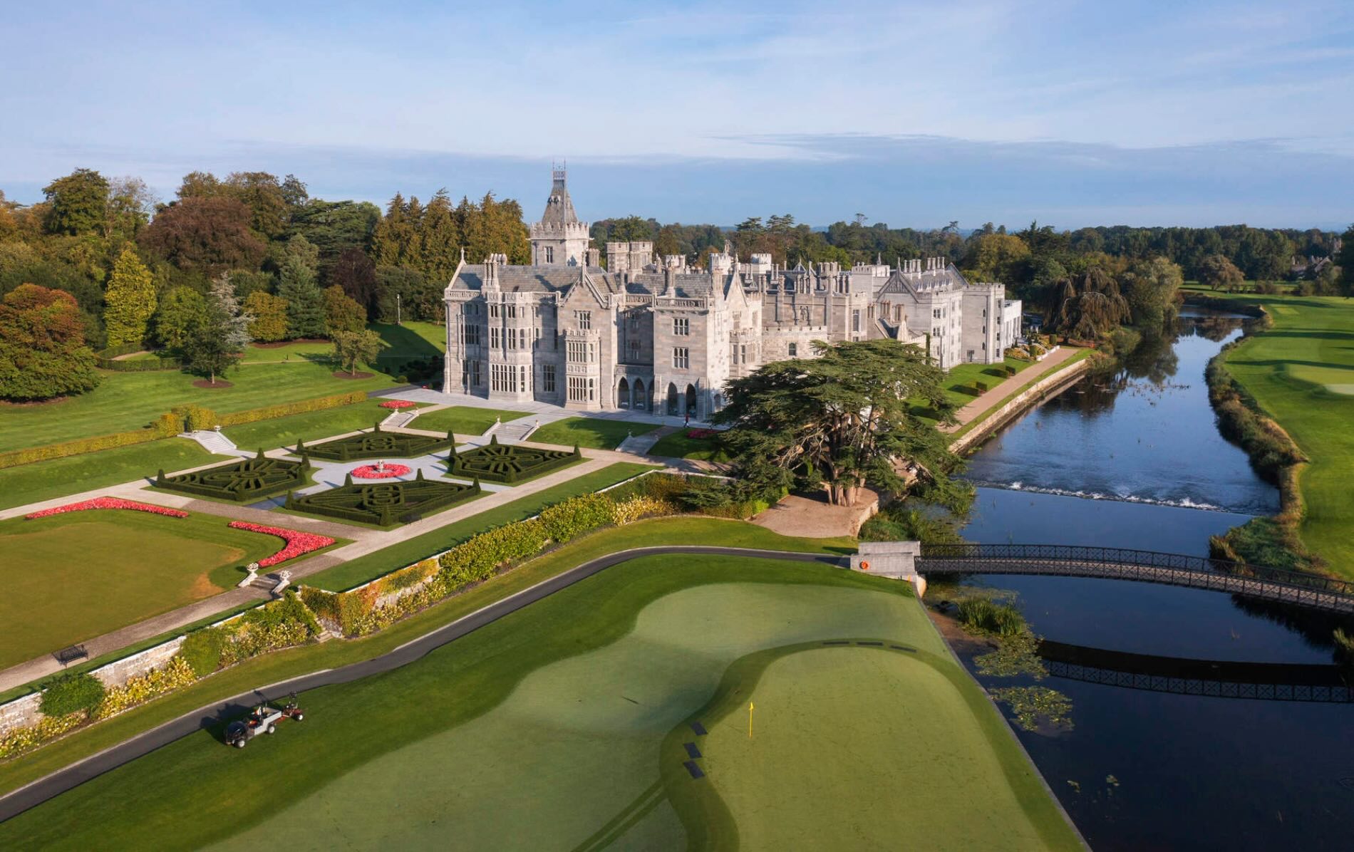 IndicatedFairy fort / earthen ringfort · 1206 yd
 Bawn in Lisnacullia (connello Lower By.)Bawn · 1526 yd
 Bawn in StonevilleBawn · 1.4 mi
 TobernablahySpring · 1.5 mi
 St. Kieran's WellSpring · 1.9 mi
 European ashEuropean ash · 3.9 mi
 Askeaton CastleHeritage attraction · 4.3 mi
 Flat cemetery in CroaghFlat cemetery · 4.4 mi
 Little HeavenHeritage attraction · 6.1 mi