What is recorded here
The following description is derived from both the published 'Archaeological Inventory of County Louth' (Dublin: Stationery Office, 1986) and the 'Archaeological Survey of County Louth' (Dublin: Stationery Office, 1991). In certain instances the entries have been revised and updated in the light of recent research.
Date of upload/revision: 17 July 2007
Circular area (int. diam. c. 21m) enclosed by two widely spaced earth and stone banks with traces of external fosse. Inner bank (Wth 2.7m, H 0.2m internally, 0.3m externally) cut through and removed by a modern wall in the SE quadrant. The intervening space between the banks varies (Wth 8.7-12m). The outer bank (Wth 4m, H 0.5m internally, 1m externally) and outer fosse (Wth 2.5m, D 0.2m) survive best in the N quadrant. Possible Man-made underground passage (LH008-070002-) in interior of site.
This monument is subject to a preservation order made under the National Monuments Acts 1930 to 2014 (PO no. 1/2002).
A local fairy fort (ringfort/rath); wider significance not recorded.
The monument record does not grant public access. Check the route and ask the landowner before entering private land.
- What survives
- Recorded monument
Places near here
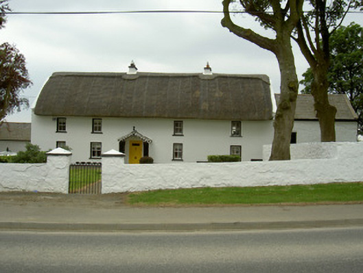 Rampark Farmhousehouse · 356 yd
 Mass-rock in AnnaloughanMass-rock · 742 yd
 Saint Mary's Catholic Churchchurch/chapel · 941 yd
 Man-made underground passageFairy fort / earthen ringfort · 985 yd
 SlievenagloghMountain / peak · 1.1 mi
 IndicatedBawn · 1.3 mi
 Annaloughan MountainMountain / peak · 1.4 mi
 Mount Bagnell FoerCastle, motte and bailey · 1.7 mi
 The BushPicnic place · 3.1 mi
 Soldiers' PointHeadland · 3.2 mi
 Cooley MountainsMountain range · 3.8 mi
 TSS DundalkMemorial · 3.8 mi