What is recorded here
Located on the summit of a small drumlin. It was described in 1968 as a circular area (diam. c. 30m) defined by an earthen bank (Wth c. 5m; int. H 0.7m at S to c. 1.5m at N) with a large outer fosse (Wth of top 3.35-4m; ext. D 1-1.2m) or berm that had been removed NE-SSE where there was a yard and farm buildings. There is an entrance gap (Wth 3m) that might be modern at E. The interior had been occupied by farm buildings by 1995 (OSAP).
The above description is derived from the published 'Archaeological Inventory of County Monaghan' (Dublin: Stationery Office, 1986). In certain instances the entries have been revised and updated in the light of recent research.
Revised by: Michael Moore
Date of revision: 29 January 2018
The monument record does not grant public access. Check the route and ask the landowner before entering private land.
- What survives
- Recorded monument
Places near here
 White FortFairy fort / earthen ringfort · 528 yd
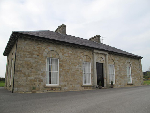 Loughoony Househouse · 736 yd
 IndicatedCrannog · 766 yd
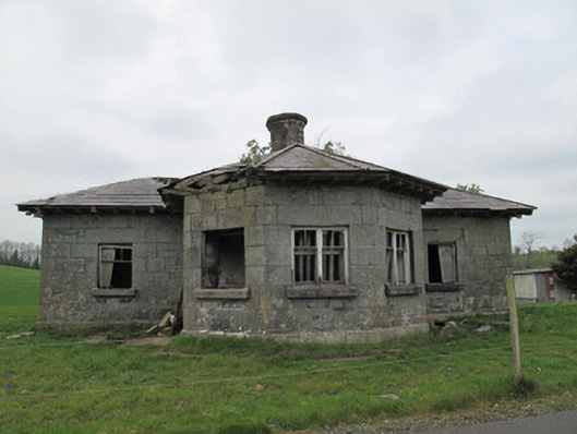 Templetate Locklock keeper's house · 1025 yd
 Jaundice WellSpring · 1.1 mi
 Roosky Castle (Site of)Castle, ringwork · 1.9 mi
 Lisarrilly HillMountain / peak · 2.1 mi
 KillycoonaghWood · 3.1 mi
 Common LimeCommon Lime · 3.2 mi
 Saint John's WellSpring · 3.2 mi
 Rough HillMountain / peak · 3.4 mi
 Abbey RuinsHeritage attraction · 4.8 mi